Cobh night lights from space
Night Light of Cobh (Munster) from space (Ireland) Src. Average luminocity for 10x10km area is 27.1872% and for 50x50km: 7.4018%.
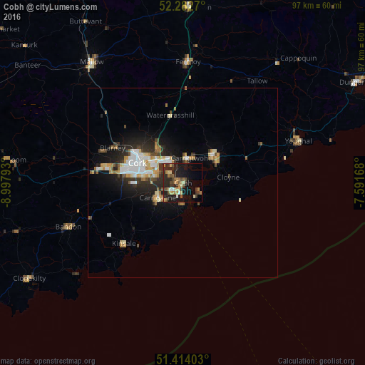
Analysis of Cobh night lights 2016
Square area 10x10 km:
 1.2%
1.2%90-99
2.14%80-89
4.41%70-79
4.28%60-69
4.28%50-59
4.41%40-49
4.41%30-39
4.81%20-29
11.9%10-19
28.74%0-9
29.41%Square area 50x50 km:
1.18%90-99
1.28%80-89
0.96%70-79
0.88%60-69
0.89%50-59
0.7%40-49
0.7%30-39
1.12%20-29
2.54%10-19
4.75%0-9
84.98%Clear (daylight) street map image can be seen on geolist.org.
Map coordinates:
52° 16' 57.7" North, 8° 59' 52.5" West
51° 51' 1.7" North, 8° 17' 41.3" West
51° 24' 50.5" North, 7° 35' 30" West
Some cities around Cobh sort by population:
• Cork
13.2 km =8.2 mi,  293°
293°
• Carrigaline
8.3 km =5.2 mi,  238°
238°
• Derry
59.7 km =37.1 mi, 240°
• Mallow
39.1 km =24.3 mi,  323°
323°
• Midleton
10.7 km =6.6 mi,  47°
47°
• Dungarvan
52.9 km =32.9 mi,  60°
60°
• Youghal
32.4 km =20.1 mi,  70°
70°
• Bandon
32.9 km =20.4 mi,  249°
249°
2965260 (p: 10,501)
Sources (retrieved 2019-11-25):
» Earth at Night: Flat Maps 2012, 2016