Youghal night lights from space
Night Light of Youghal (Munster) from space (Ireland) Src. Average luminocity for 10x10km area is 5.7803% and for 50x50km: 1.1091%.
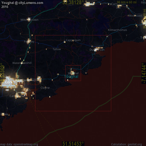
Analysis of Youghal night lights 2016
Square area 10x10 km:
 0%
0%90-99
0.76%80-89
0.88%70-79
1.39%60-69
0.63%50-59
0.88%40-49
2.02%30-39
1.01%20-29
0.51%10-19
0%0-9
91.92%Square area 50x50 km:
0.1%90-99
0.13%80-89
0.15%70-79
0.13%60-69
0.21%50-59
0.21%40-49
0.22%30-39
0.15%20-29
0.04%10-19
0.06%0-9
98.59%Clear (daylight) street map image can be seen on geolist.org.
Map coordinates:
52° 22' 52.6" North, 8° 33' 13.3" West
51° 57' 0" North, 7° 51' 2" West
51° 30' 52.3" North, 7° 8' 50.8" West
Some cities around Youghal sort by population:
• Cork
42.9 km =26.7 mi,  262°
262°
• Cluain Meala
46.1 km =28.6 mi,  12°
12°
• Carrigaline
40.6 km =25.2 mi,  247°
247°
• Cobh
32.4 km =20.1 mi, 250°
• Trá Mhór
53.3 km =33.1 mi,  63°
63°
• Midleton
22.9 km =14.2 mi, 260°
• Dungarvan
21.8 km =13.5 mi,  45°
45°
• Carrick-on-Suir
53.5 km =33.2 mi,  33°
33°
2960869 (p: 6,868)
Sources (retrieved 2019-11-25):
» Earth at Night: Flat Maps 2012, 2016