Baldoyle night lights from space
Night Light of Baldoyle (Leinster) from space (Ireland) Src. Average luminocity for 10x10km area is 41.4087% and for 50x50km: 21.6412%.
Analysis of Baldoyle night lights 2016
Square area 10x10 km:
 7.54%
7.54%90-99
8.2%80-89
3.44%70-79
5.03%60-69
6.08%50-59
7.41%40-49
9.52%30-39
6.08%20-29
8.47%10-19
14.42%0-9
23.81%Square area 50x50 km:
8.11%90-99
5.09%80-89
1.52%70-79
1.48%60-69
1.45%50-59
1.23%40-49
1.86%30-39
2.46%20-29
4.88%10-19
7.53%0-9
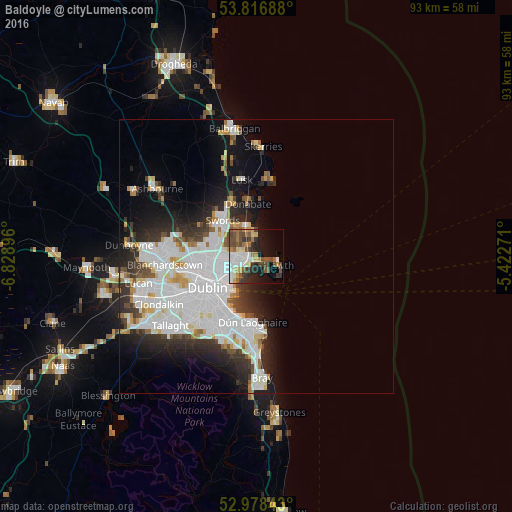
64.38%Clear (daylight) street map image can be seen on geolist.org.
Map coordinates:
53° 49' 0.8" North, 6° 49' 44.3" West
53° 23' 59" North, 6° 7' 33" West
52° 58' 42.3" North, 5° 25' 21.8" West
Some cities around Baldoyle sort by population:
• Malahide
6 km =3.7 mi,  341°
341°
• Donaghmede
2.4 km =1.5 mi,  266°
266°
• Portmarnock
2.7 km =1.7 mi, 343°
• Raheny
3.9 km =2.4 mi,  248°
248°
• Darndale
4.2 km =2.6 mi, 269°
• Artane
6 km =3.7 mi,  256°
256°
• Killester
6 km =3.7 mi,  240°
240°
• Dollymount
5.3 km =3.3 mi,  223°
223°
2966793 (p: 8,043)
Sources (retrieved 2019-11-25):
» Earth at Night: Flat Maps 2012, 2016