An Ros night lights from space
Night Light of An Ros (Leinster) from space (Ireland) Src. Average luminocity for 10x10km area is 10.2183% and for 50x50km: 16.9578%.
Analysis of An Ros night lights 2016
Square area 10x10 km:
 0.13%
0.13%90-99
0.93%80-89
0.53%70-79
1.46%60-69
0.66%50-59
3.04%40-49
0.66%30-39
0.93%20-29
3.17%10-19
12.7%0-9
75.79%Square area 50x50 km:
6.18%90-99
3.75%80-89
1.34%70-79
1.26%60-69
1.28%50-59
1.17%40-49
1.64%30-39
1.71%20-29
2.83%10-19
6.29%0-9
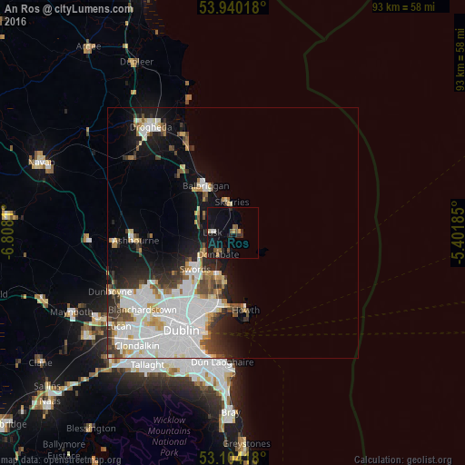
72.56%Clear (daylight) street map image can be seen on geolist.org.
Map coordinates:
53° 56' 24.6" North, 6° 48' 29.2" West
53° 31' 27.3" North, 6° 6' 17.9" West
53° 6' 15" North, 5° 24' 6.7" West
Some cities around An Ros sort by population:
• Swords
10.4 km =6.5 mi,  226°
226°
• Balbriggan
10.7 km =6.6 mi,  331°
331°
• Malahide
8.8 km =5.5 mi,  201°
201°
• Skerries
6.5 km =4 mi,  358°
358°
• Portmarnock
11.5 km =7.1 mi,  190°
190°
• Lusk
3.9 km =2.4 mi,  275°
275°
• Donabate
5.2 km =3.2 mi,  217°
217°
• Kinsealy-Drinan
11 km =6.8 mi, 216°
2961651 (p: 9,231)
Sources (retrieved 2019-11-25):
» Earth at Night: Flat Maps 2012, 2016