Balbriggan night lights from space
Night Light of Balbriggan (Leinster) from space (Ireland) Src. Average luminocity for 10x10km area is 17.1515% and for 50x50km: 9.922%.
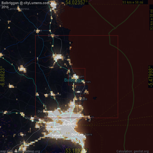
Analysis of Balbriggan night lights 2016
Square area 10x10 km:
 2.02%
2.02%90-99
2.27%80-89
2.4%70-79
2.65%60-69
2.78%50-59
0.88%40-49
0.88%30-39
2.15%20-29
0.38%10-19
17.68%0-9
65.91%Square area 50x50 km:
2.38%90-99
1.82%80-89
0.74%70-79
1%60-69
1.2%50-59
0.84%40-49
1.21%30-39
1.03%20-29
2.31%10-19
6.44%0-9
81.04%Clear (daylight) street map image can be seen on geolist.org.
Map coordinates:
54° 1' 24.9" North, 6° 53' 10.4" West
53° 36' 30.5" North, 6° 10' 59.2" West
53° 11' 21.2" North, 5° 28' 47.9" West
Some cities around Balbriggan sort by population:
• Swords
16.7 km =10.4 mi,  187°
187°
• Drogheda
16.4 km =10.2 mi,  318°
318°
• Malahide
17.6 km =10.9 mi,  173°
173°
• Laytown
9 km =5.6 mi,  335°
335°
• Skerries
5.7 km =3.5 mi,  120°
120°
• An Ros
10.7 km =6.6 mi,  151°
151°
• Lusk
9.1 km =5.7 mi, 172°
• Donabate
13.6 km =8.5 mi, 171°
2966794 (p: 23,364)
Sources (retrieved 2019-11-25):
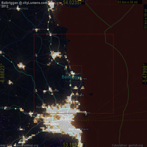
» Earth at Night: Flat Maps 2012, 2016