Navan night lights from space
Night Light of Navan (Leinster) from space (Ireland) Src. Average luminocity for 10x10km area is 14.3561% and for 50x50km: 3.9489%.
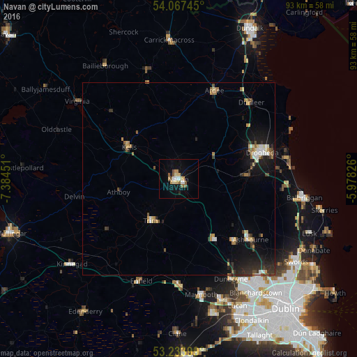
Analysis of Navan night lights 2016
Square area 10x10 km:
 1.52%
1.52%90-99
1.77%80-89
2.78%70-79
2.4%60-69
1.26%50-59
3.28%40-49
0.63%30-39
0%20-29
1.01%10-19
7.95%0-9
77.4%Square area 50x50 km:
0.35%90-99
0.48%80-89
0.44%70-79
0.52%60-69
0.56%50-59
0.49%40-49
0.42%30-39
0.49%20-29
1.18%10-19
3.34%0-9
91.72%Clear (daylight) street map image can be seen on geolist.org.
Map coordinates:
54° 4' 2.8" North, 7° 23' 4.2" West
53° 39' 10" North, 6° 40' 53" West
53° 14' 2.4" North, 5° 58' 41.7" West
Some cities around Navan sort by population:
• Drogheda
23.2 km =14.4 mi,  71°
71°
• Maynooth
30.3 km =18.8 mi,  168°
168°
• Ashbourne
24.4 km =15.2 mi,  130°
130°
• Laytown
29.3 km =18.2 mi,  83°
83°
• Ratoath
21.6 km =13.4 mi,  138°
138°
• Dunboyne
29.4 km =18.3 mi,  152°
152°
• Newtown Trim
12.2 km =7.6 mi,  208°
208°
• Kilcock
27.9 km =17.3 mi,  178°
178°
2962308 (p: 24,545)
Sources (retrieved 2019-11-25):
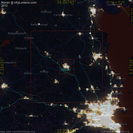
» Earth at Night: Flat Maps 2012, 2016