Tuban night lights from space
Night Light of Tuban (East Java) from space (Indonesia) Src. Average luminocity for 10x10km area is 52.4632% and for 50x50km: 16.8748%.
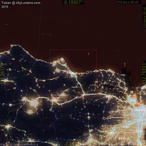
Analysis of Tuban night lights 2016
Square area 10x10 km:
 7.14%
7.14%90-99
19.91%80-89
4.76%70-79
4.11%60-69
6.71%50-59
2.6%40-49
4.98%30-39
11.69%20-29
20.35%10-19
15.8%0-9
1.95%Square area 50x50 km:
0.79%90-99
3.44%80-89
1.83%70-79
1.86%60-69
1.75%50-59
1.3%40-49
2.94%30-39
4.08%20-29
7.22%10-19
16.68%0-9
58.13%Clear (daylight) street map image can be seen on geolist.org.
Map coordinates:
6° 11' 56.7" South, 111° 21' 42.4" East
6° 53' 51.4" South, 112° 3' 53.6" East
7° 35' 42.4" South, 112° 46' 4.9" East
Some cities around Tuban sort by population:
• Bojonegoro
34.6 km =21.5 mi,  215°
215°
• Kebomas
69.5 km =43.2 mi,  115°
115°
• Gresik
71.2 km =44.2 mi,  113°
113°
• Lamongan
45.8 km =28.5 mi, 122°
• Cepu
59.3 km =36.8 mi,  242°
242°
• Lasem
71.3 km =44.3 mi,  288°
288°
• Paciran
34.4 km =21.4 mi,  86°
86°
• Babat
26.3 km =16.3 mi,  155°
155°
1623180 (p: 76,242)
Sources (retrieved 2019-11-25):
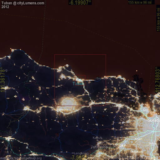
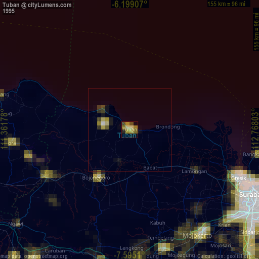
» NASA, Earths city lights 1995
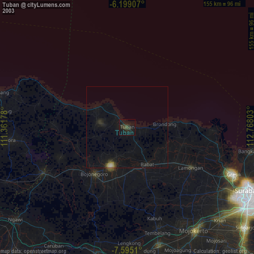
» NASA city lights 2003
» Earth at Night: Flat Maps 2012, 2016