Cepu night lights from space
Night Light of Cepu (Central Java) from space (Indonesia) Src. Average luminocity for 10x10km area is 38.7294% and for 50x50km: 13.4001%.
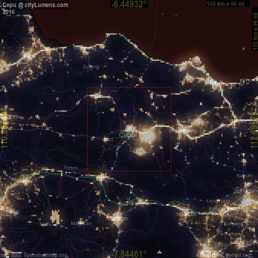

Analysis of Cepu night lights 2016
Square area 10x10 km:
 1.3%
1.3%90-99
6.71%80-89
5.19%70-79
4.76%60-69
5.63%50-59
6.49%40-49
11.69%30-39
11.47%20-29
9.31%10-19
27.06%0-9
10.39%Square area 50x50 km:
0.69%90-99
2.67%80-89
1.73%70-79
1.13%60-69
1.33%50-59
1.55%40-49
3.83%30-39
3.4%20-29
3.41%10-19
8.63%0-9
71.63%Clear (daylight) street map image can be seen on geolist.org.
Map coordinates:
6° 26' 57.6" South, 110° 53' 14.9" East
7° 8' 51" South, 111° 35' 26.2" East
7° 50' 40.6" South, 112° 17' 37.4" East
Some cities around Cepu sort by population:
• Madiun
54.1 km =33.6 mi,  187°
187°
• Bojonegoro
32.1 km =19.9 mi,  90°
90°
• Tuban
59.3 km =36.8 mi,  62°
62°
• Nganjuk
61.5 km =38.2 mi,  145°
145°
• Blora
27.4 km =17 mi,  316°
316°
• Rembangan
56.5 km =35.1 mi,  330°
330°
• Lasem
52.9 km =32.9 mi,  343°
343°
• Ngawi
32.7 km =20.3 mi,  209°
209°
1647179 (p: 55,055)
Sources (retrieved 2019-11-25):
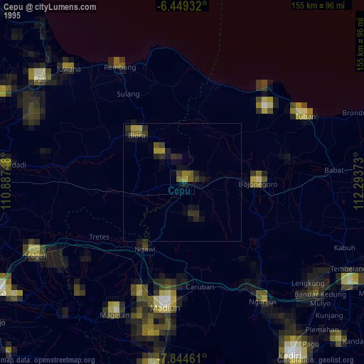
» NASA, Earths city lights 1995
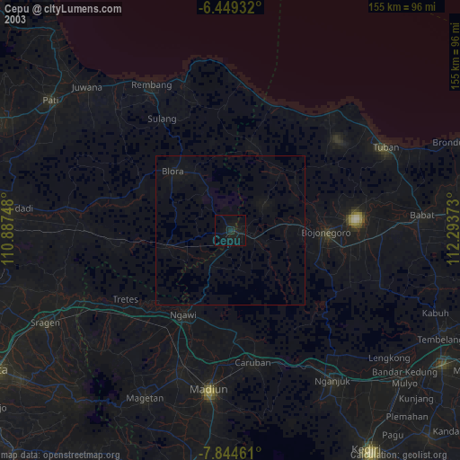
» NASA city lights 2003
» Earth at Night: Flat Maps 2012, 2016