Paciran night lights from space
Night Light of Paciran (East Java) from space (Indonesia) Src. Average luminocity for 10x10km area is 26.6212% and for 50x50km: 11.8786%.
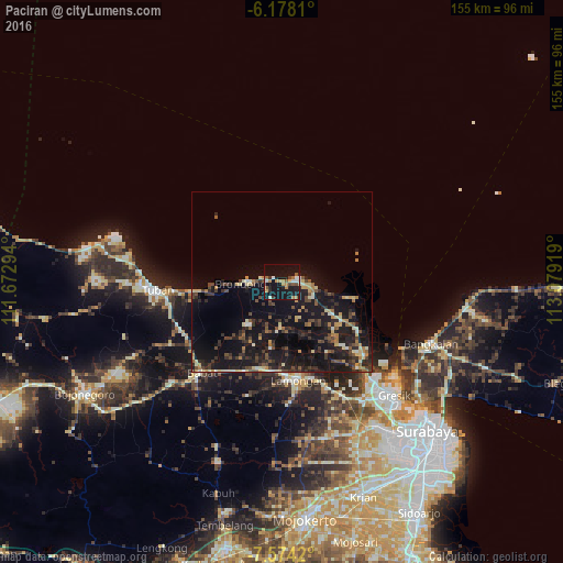
Analysis of Paciran night lights 2016
Square area 10x10 km:
 1.95%
1.95%90-99
4.11%80-89
1.95%70-79
5.41%60-69
4.33%50-59
4.11%40-49
2.81%30-39
1.73%20-29
2.81%10-19
46.32%0-9
24.46%Square area 50x50 km:
0.16%90-99
1.45%80-89
1.51%70-79
1.32%60-69
1.25%50-59
1.44%40-49
2.48%30-39
2.6%20-29
4.15%10-19
17.3%0-9
66.35%Clear (daylight) street map image can be seen on geolist.org.
Map coordinates:
6° 10' 41.2" South, 111° 40' 22.6" East
6° 52' 36" South, 112° 22' 33.8" East
7° 34' 27.1" South, 113° 4' 45.1" East
Some cities around Paciran sort by population:
• Surabaya
58.5 km =36.4 mi,  135°
135°
• Tuban
34.4 km =21.4 mi,  266°
266°
• Kebomas
43 km =26.7 mi, 138°
• Gresik
43.7 km =27.2 mi,  134°
134°
• Bangkalan
43.8 km =27.2 mi,  115°
115°
• Lamongan
27.1 km =16.8 mi,  170°
170°
• Babat
35.2 km =21.9 mi,  221°
221°
• Kamal
49.8 km =30.9 mi, 130°
1633442 (p: 27,072)
Sources (retrieved 2019-11-25):
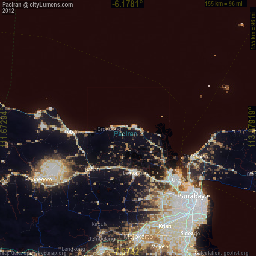
» Earth at Night: Flat Maps 2012, 2016