Lahad Datu night lights from space
Night Light of Lahad Datu (Sabah) from space (Malaysia) Src. Average luminocity for 10x10km area is 35.0393% and for 50x50km: 2.1105%.
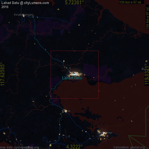
Analysis of Lahad Datu night lights 2016
Square area 10x10 km:
 2.27%
2.27%90-99
14.05%80-89
5.58%70-79
2.69%60-69
3.51%50-59
0.83%40-49
1.65%30-39
1.86%20-29
5.99%10-19
44.21%0-9
17.36%Square area 50x50 km:
0.09%90-99
0.61%80-89
0.28%70-79
0.21%60-69
0.15%50-59
0.11%40-49
0.25%30-39
0.18%20-29
0.5%10-19
2.26%0-9
95.36%Clear (daylight) street map image can be seen on geolist.org.
Map coordinates:
5° 43' 22.8" North, 117° 37' 33.1" East
5° 1' 22.7" North, 118° 19' 44.3" East
4° 19' 19.9" North, 119° 1' 55.6" East
Some cities around Lahad Datu sort by population:
• Sandakan
93.8 km =58.3 mi,  345°
345°
• Tawau
99.2 km =61.6 mi,  209°
209°
• Semporna
67.8 km =42.1 mi,  152°
152°
• Bongao, PH
160 km =99.4 mi,  89°
89°
• Sitangkai, PH
124.9 km =77.6 mi,  108°
108°
• Taman Rajawali
101.9 km =63.3 mi,  342°
342°
• Tampakan, PH
162.7 km =101.1 mi, 93°
• Sanga-Sanga, PH
161.4 km =100.3 mi, 88°
1733953 (p: 105,622)
Sources (retrieved 2019-11-25):
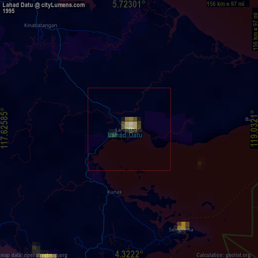
» NASA, Earths city lights 1995
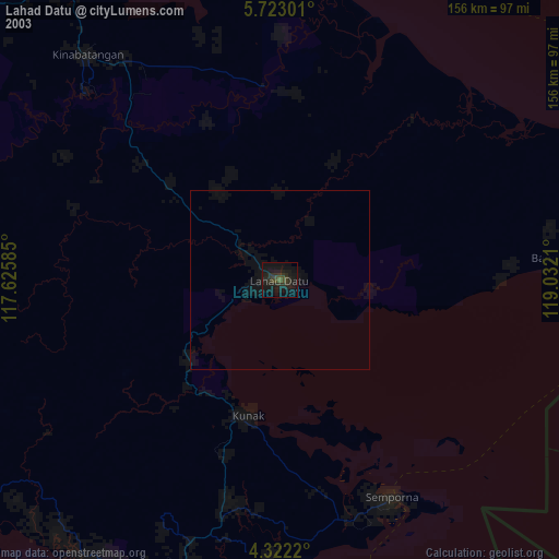
» NASA city lights 2003
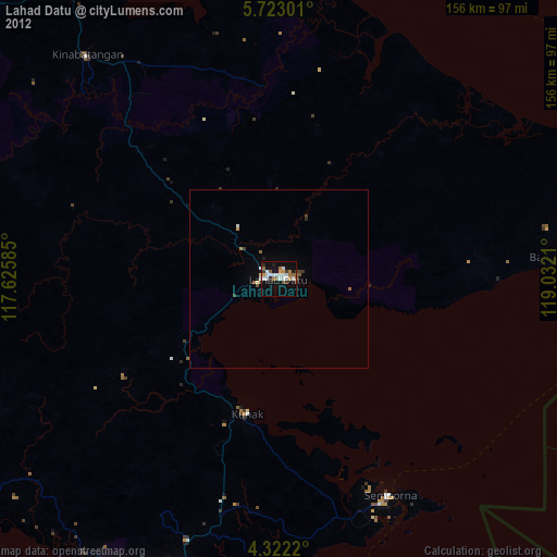
» Earth at Night: Flat Maps 2012, 2016