Tawau night lights from space
Night Light of Tawau (Sabah) from space (Malaysia) Src. Average luminocity for 10x10km area is 44.6255% and for 50x50km: 5.1538%.
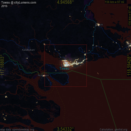
Analysis of Tawau night lights 2016
Square area 10x10 km:
 11.47%
90-99
11.9%80-89
4.11%70-79
4.55%60-69
6.49%50-59
3.03%40-49
1.52%30-39
2.16%20-29
9.09%10-19
31.82%0-9
13.85%Square area 50x50 km:
0.51%90-99
1.14%80-89
0.64%70-79
0.55%60-69
0.69%50-59
0.31%40-49
0.42%30-39
0.72%20-29
1.57%10-19
5.09%0-9
88.36%Clear (daylight) street map image can be seen on geolist.org.
Map coordinates:
4° 56' 44.4" North, 117° 11' 16.9" East
4° 14' 41.4" North, 117° 53' 28.1" East
3° 32' 36" North, 118° 35' 39.4" East
Some cities around Tawau sort by population:
• Sandakan
179.2 km =111.3 mi,  8°
8°
• Lahad Datu
99.2 km =61.6 mi,  29°
29°
• Tarakan, ID
108.8 km =67.6 mi,  197°
197°
• Semporna
84.1 km =52.3 mi,  71°
71°
• Sitangkai, PH
173.2 km =107.6 mi, 74°
• Taman Rajawali
184.3 km =114.5 mi, 5°
• Tampakan, PH
224 km =139.2 mi, 70°
• Tanjung Selor, ID
167 km =103.8 mi, 200°
1734199 (p: 306,462)
Sources (retrieved 2019-11-25):
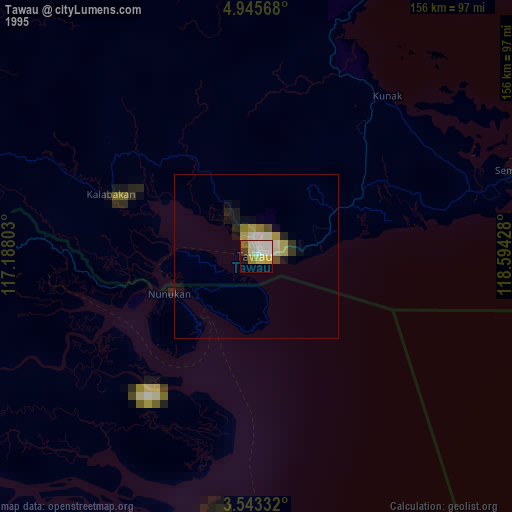
» NASA, Earths city lights 1995
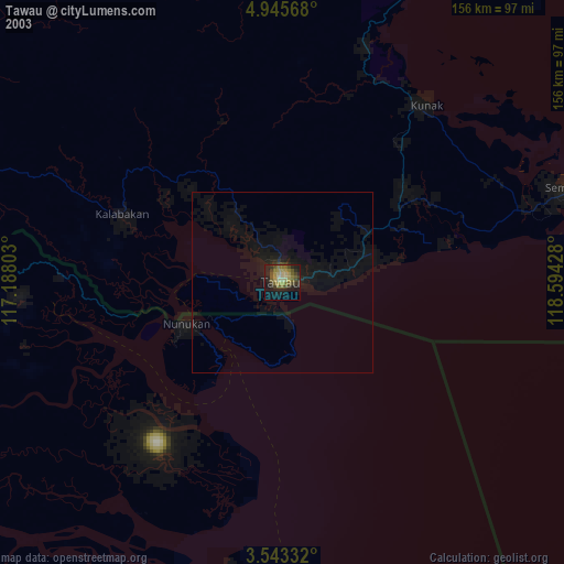
» NASA city lights 2003
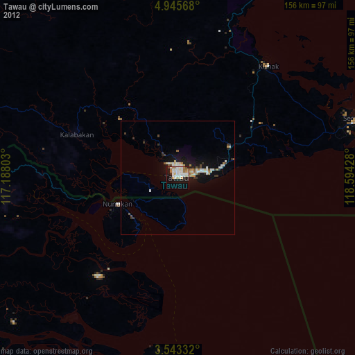
» Earth at Night: Flat Maps 2012, 2016