Sibolga night lights from space
Night Light of Sibolga (North Sumatra) from space (Indonesia) Src. Average luminocity for 10x10km area is 27.3961% and for 50x50km: 3.466%.
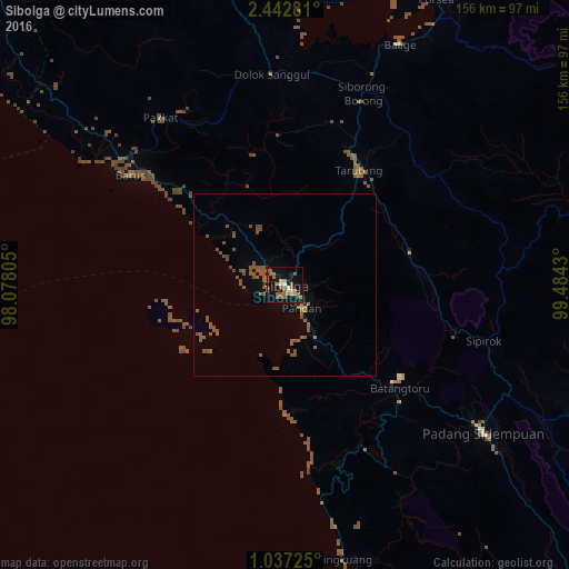
Analysis of Sibolga night lights 2016
Square area 10x10 km:
 1.73%
1.73%90-99
3.03%80-89
0.65%70-79
3.25%60-69
11.9%50-59
10.61%40-49
0%30-39
0%20-29
0%10-19
37.45%0-9
31.39%Square area 50x50 km:
0.07%90-99
0.12%80-89
0.03%70-79
0.17%60-69
0.76%50-59
2.68%40-49
0.63%30-39
0%20-29
0.03%10-19
1.9%0-9
93.6%Clear (daylight) street map image can be seen on geolist.org.
Map coordinates:
2° 26' 34.1" North, 98° 4' 41" East
1° 44' 24.6" North, 98° 46' 52.2" East
1° 2' 14.1" North, 99° 29' 3.5" East
Some cities around Sibolga sort by population:
• Pematangsiantar
139.3 km =86.6 mi,  13°
13°
• Rantauprapat
123.6 km =76.8 mi,  71°
71°
• Padangsidempuan
67.7 km =42.1 mi,  126°
126°
• Singkil
126 km =78.3 mi,  298°
298°
• Bandar
113 km =70.2 mi, 72°
• Tongging
131.9 km =82 mi,  347°
347°
• Parapat
104 km =64.6 mi, 9°
• Tomok Bolon
101.8 km =63.3 mi,  4°
4°
1213855 (p: 79,714)
Sources (retrieved 2019-11-25):
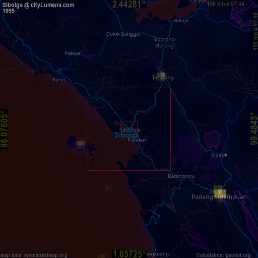
» NASA, Earths city lights 1995
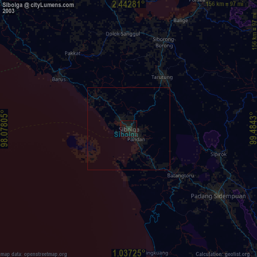
» NASA city lights 2003
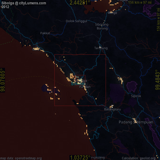
» Earth at Night: Flat Maps 2012, 2016