Ponorogo night lights from space
Night Light of Ponorogo (East Java) from space (Indonesia) Src. Average luminocity for 10x10km area is 31.5269% and for 50x50km: 3.51%.

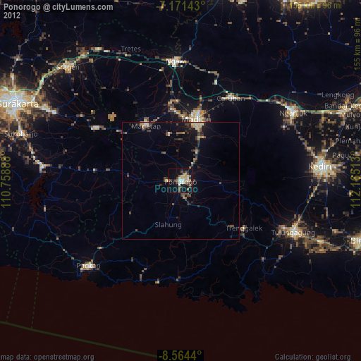

Analysis of Ponorogo night lights 2016
Square area 10x10 km:
 0.21%
0.21%90-99
4.75%80-89
5.58%70-79
4.13%60-69
6.2%50-59
3.93%40-49
5.79%30-39
8.26%20-29
7.23%10-19
31.4%0-9
22.52%Square area 50x50 km:
0.02%90-99
0.31%80-89
0.47%70-79
0.4%60-69
0.6%50-59
0.56%40-49
0.52%30-39
0.72%20-29
1.34%10-19
3.37%0-9
91.7%Clear (daylight) street map image can be seen on geolist.org.
Map coordinates:
7° 10' 17.1" South, 110° 45' 32" East
7° 52' 6.6" South, 111° 27' 43.2" East
8° 33' 51.8" South, 112° 9' 54.5" East
Some cities around Ponorogo sort by population:
• Madiun
27.4 km =17 mi,  14°
14°
• Kedungwaru
54.7 km =34 mi,  113°
113°
• Nganjuk
56.8 km =35.3 mi,  58°
58°
• Tulungagung
53.2 km =33.1 mi, 114°
• Jatiroto
38.1 km =23.7 mi,  267°
267°
• Boyolangu
55 km =34.2 mi,  120°
120°
• Trenggalek
35.5 km =22.1 mi,  130°
130°
• Ngawi
51.7 km =32.1 mi,  358°
358°
1630798 (p: 79,026)
Sources (retrieved 2019-11-25):
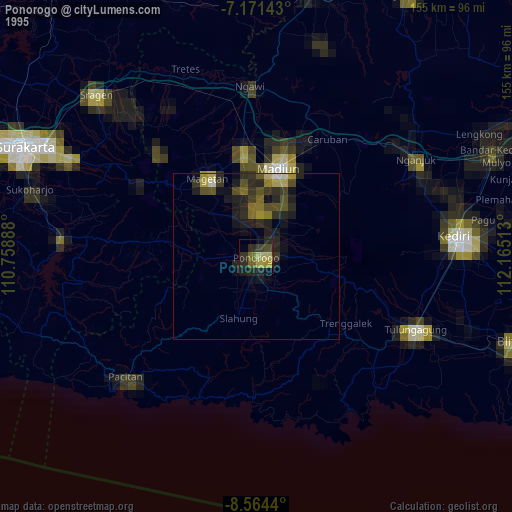
» NASA, Earths city lights 1995
» NASA city lights 2003
» Earth at Night: Flat Maps 2012, 2016