Jatiroto night lights from space
Night Light of Jatiroto (Central Java) from space (Indonesia) Src. Average luminocity for 10x10km area is 0.0806% and for 50x50km: 2.3151%.
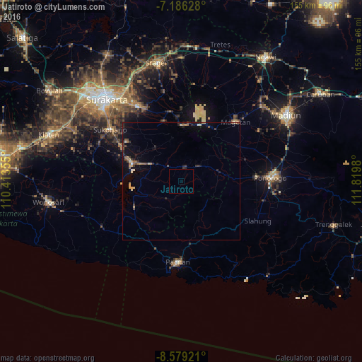
Analysis of Jatiroto night lights 2016
Square area 10x10 km:
 0%
0%90-99
0%80-89
0%70-79
0%60-69
0%50-59
0%40-49
0%30-39
0%20-29
0%10-19
0%0-9
100%Square area 50x50 km:
0.04%90-99
0.26%80-89
0.32%70-79
0.26%60-69
0.38%50-59
0.27%40-49
0.26%30-39
0.46%20-29
0.72%10-19
1.68%0-9
95.35%Clear (daylight) street map image can be seen on geolist.org.
Map coordinates:
7° 11' 10.6" South, 110° 24' 48.8" East
7° 52' 60" South, 111° 7' 0" East
8° 34' 45.2" South, 111° 49' 11.3" East
Some cities around Jatiroto sort by population:
• Surakarta
48.1 km =29.9 mi,  319°
319°
• Madiun
53 km =32.9 mi,  57°
57°
• Grogol
45.4 km =28.2 mi,  313°
313°
• Ponorogo
38.1 km =23.7 mi,  87°
87°
• Sragen
51.9 km =32.2 mi,  348°
348°
• Baki
47.4 km =29.5 mi, 309°
• Jaten
41.7 km =25.9 mi, 324°
• Selogiri
29.7 km =18.5 mi,  291°
291°
1642692 (p: 50,059)
Sources (retrieved 2019-11-25):
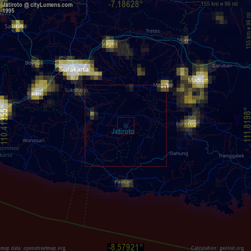
» NASA, Earths city lights 1995
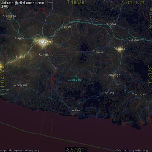
» NASA city lights 2003
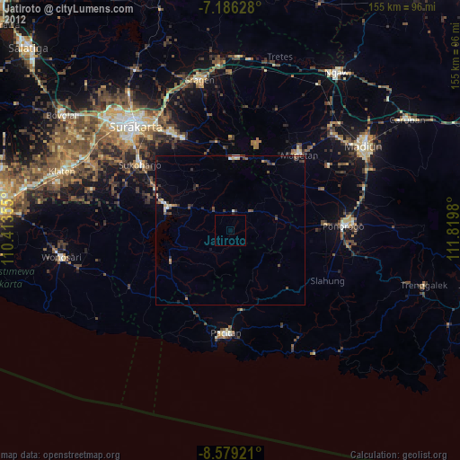
» Earth at Night: Flat Maps 2012, 2016