Tongging night lights from space
Night Light of Tongging (North Sumatra) from space (Indonesia) Src. Average luminocity for 10x10km area is 2.2814% and for 50x50km: 0.6675%.
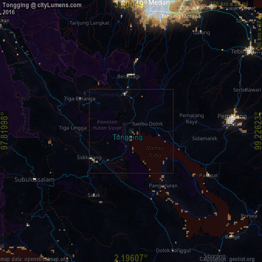
Analysis of Tongging night lights 2016
Square area 10x10 km:
 0%
0%90-99
0%80-89
0%70-79
0%60-69
0%50-59
0%40-49
4.33%30-39
0%20-29
0%10-19
0.87%0-9
94.81%Square area 50x50 km:
0%90-99
0.03%80-89
0.05%70-79
0.03%60-69
0.1%50-59
0.1%40-49
0.53%30-39
0.21%20-29
0.24%10-19
0.08%0-9
98.64%Clear (daylight) street map image can be seen on geolist.org.
Map coordinates:
3° 36' 1.8" North, 97° 49' 11.9" East
2° 53' 54.6" North, 98° 31' 23.2" East
2° 11' 45.9" North, 99° 13' 34.4" East
Some cities around Tongging sort by population:
• Pematangsiantar
61 km =37.9 mi,  83°
83°
• Sunggal
76.1 km =47.3 mi,  7°
7°
• Kabanjahe
22.7 km =14.1 mi,  350°
350°
• Berastagi
33 km =20.5 mi,  357°
357°
• Pekan Bahapal
76.1 km =47.3 mi,  71°
71°
• Deli Tua
70.1 km =43.6 mi, 14°
• Parapat
52.7 km =32.7 mi,  119°
119°
• Tomok Bolon
46.4 km =28.8 mi,  126°
126°
1213442 (p: 16,000)
Sources (retrieved 2019-11-25):
» Earth at Night: Flat Maps 2012, 2016