Kamal night lights from space
Night Light of Kamal (East Java) from space (Indonesia) Src. Average luminocity for 10x10km area is 61.9113% and for 50x50km: 47.4414%.
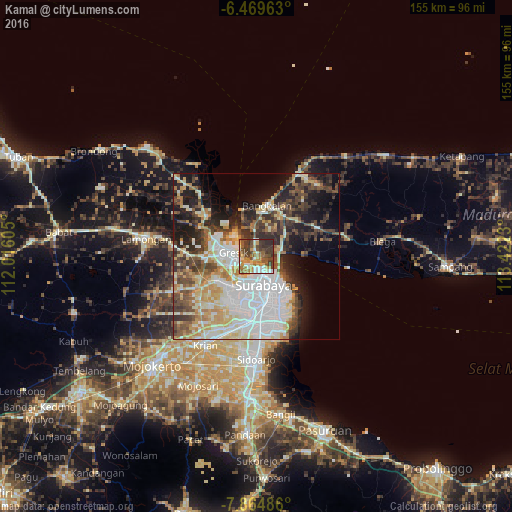
Analysis of Kamal night lights 2016
Square area 10x10 km:
 6.71%
6.71%90-99
9.74%80-89
8.01%70-79
13.64%60-69
12.34%50-59
13.2%40-49
16.02%30-39
14.94%20-29
5.41%10-19
0%0-9
0%Square area 50x50 km:
12.25%90-99
10.95%80-89
5.59%70-79
5.98%60-69
4.32%50-59
4.81%40-49
7.56%30-39
6.76%20-29
8.59%10-19
12.28%0-9
20.91%Clear (daylight) street map image can be seen on geolist.org.
Map coordinates:
6° 28' 10.7" South, 112° 0' 57.8" East
7° 10' 4" South, 112° 43' 9" East
7° 51' 53.5" South, 113° 25' 20.3" East
Some cities around Kamal sort by population:
• Surabaya
9.7 km =6 mi,  158°
158°
• Sidoarjo
31.1 km =19.3 mi,  180°
180°
• Gedangan
24.8 km =15.4 mi, 178°
• Kebomas
9.5 km =5.9 mi,  270°
270°
• Gresik
7.1 km =4.4 mi,  282°
282°
• Bangkalan
13.7 km =8.5 mi,  7°
7°
• Buduran
28.9 km =18 mi, 179°
• Driyorejo
24.5 km =15.2 mi,  205°
205°
1641792 (p: 22,515)
Sources (retrieved 2019-11-25):
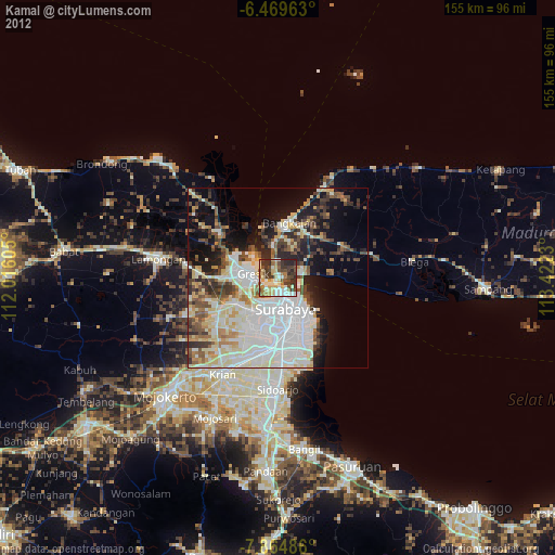
» Earth at Night: Flat Maps 2012, 2016