Bangkalan night lights from space
Night Light of Bangkalan (East Java) from space (Indonesia) Src. Average luminocity for 10x10km area is 43.5931% and for 50x50km: 29.6009%.
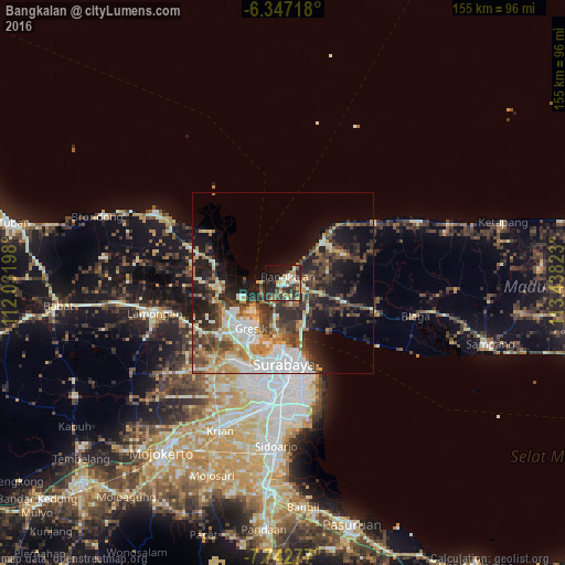
Analysis of Bangkalan night lights 2016
Square area 10x10 km:
 1.08%
1.08%90-99
11.26%80-89
6.93%70-79
5.41%60-69
3.68%50-59
6.06%40-49
9.31%30-39
13.2%20-29
17.75%10-19
19.26%0-9
6.06%Square area 50x50 km:
4.44%90-99
6.33%80-89
3.31%70-79
3.71%60-69
3.36%50-59
3.69%40-49
6.2%30-39
5.95%20-29
8.02%10-19
12.58%0-9
42.4%Clear (daylight) street map image can be seen on geolist.org.
Map coordinates:
6° 20' 49.8" South, 112° 1' 55.1" East
7° 2' 43.8" South, 112° 44' 6.4" East
7° 44' 34" South, 113° 26' 17.6" East
Some cities around Bangkalan sort by population:
• Surabaya
22.7 km =14.1 mi,  175°
175°
• Gedangan
38.4 km =23.9 mi, 181°
• Kebomas
17.5 km =10.9 mi,  219°
219°
• Gresik
14.9 km =9.3 mi, 215°
• Lamongan
36 km =22.4 mi,  257°
257°
• Buduran
42.6 km =26.5 mi, 181°
• Driyorejo
37.8 km =23.5 mi,  199°
199°
• Kamal
13.7 km =8.5 mi,  187°
187°
1650298 (p: 62,178)
Sources (retrieved 2019-11-25):
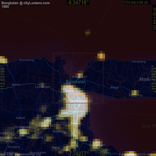
» NASA, Earths city lights 1995
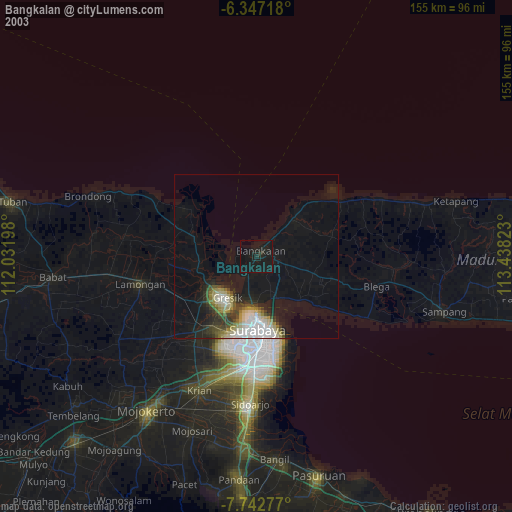
» NASA city lights 2003
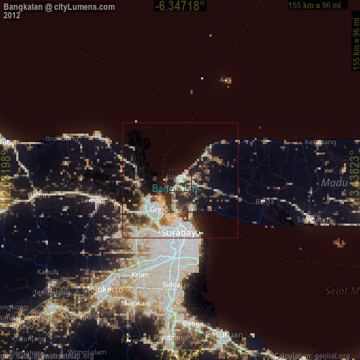
» Earth at Night: Flat Maps 2012, 2016