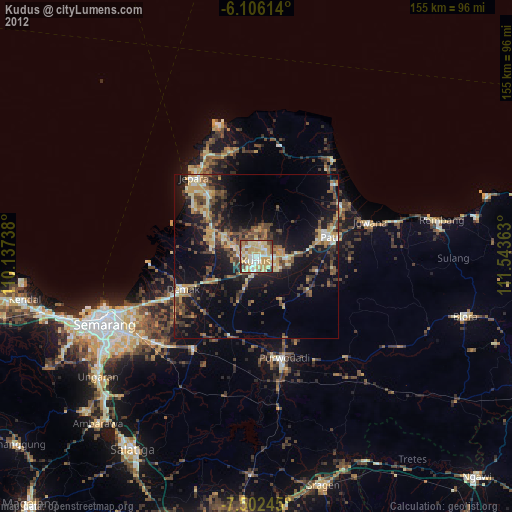
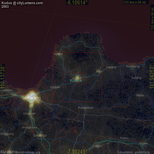
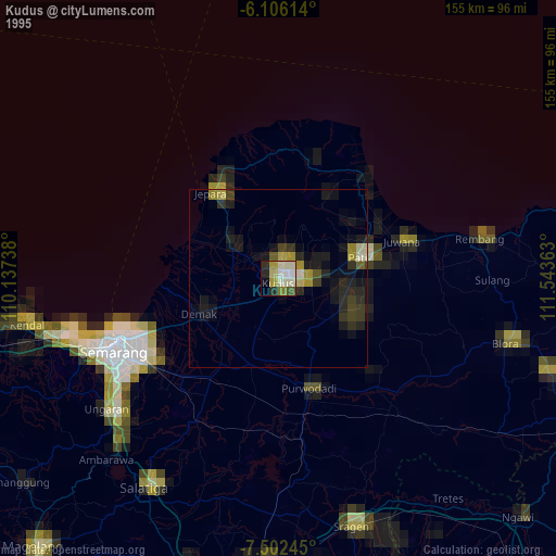
Kudus night lights from space
Night Light of Kudus (Central Java) from space (Indonesia) Src. Average luminocity for 10x10km area is 78.0693% and for 50x50km: 23.1694%.
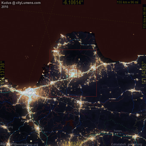
Analysis of Kudus night lights 2016
Square area 10x10 km:
 7.14%
7.14%90-99
26.84%80-89
15.58%70-79
17.75%60-69
19.91%50-59
6.28%40-49
3.46%30-39
3.03%20-29
0%10-19
0%0-9
0%Square area 50x50 km:
0.49%90-99
3.57%80-89
2.97%70-79
3.04%60-69
4.25%50-59
3.6%40-49
4.35%30-39
5.64%20-29
8.72%10-19
18.8%0-9
44.57%Clear (daylight) street map image can be seen on geolist.org.
Map coordinates:
6° 6' 22.1" South, 110° 8' 14.6" East
6° 48' 17.3" South, 110° 50' 25.8" East
7° 30' 8.8" South, 111° 32' 37.1" East
Some cities around Kudus sort by population:
• Purwodadi
32.4 km =20.1 mi,  165°
165°
• Pati
22.5 km =14 mi,  75°
75°
• Pecangaan
18.6 km =11.6 mi,  309°
309°
• Baekrajan
4.4 km =2.7 mi,  19°
19°
• Gebog
7.8 km =4.8 mi,  3°
3°
• Jekulo
9.5 km =5.9 mi,  90°
90°
• Demak
24.2 km =15 mi,  246°
246°
• Welahan
13.7 km =8.5 mi,  272°
272°
1639215 (p: 92,156)
Sources (retrieved 2019-11-25):
» NASA, Earths city lights 1995
» NASA city lights 2003
» Earth at Night: Flat Maps 2012, 2016