Mendaha night lights from space
Night Light of Mendaha (Jambi) from space (Indonesia) Src. Average luminocity for 10x10km area is 0% and for 50x50km: 0.855%.
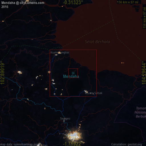
Analysis of Mendaha night lights 2016
Square area 10x10 km:
 0%
0%90-99
0%80-89
0%70-79
0%60-69
0%50-59
0%40-49
0%30-39
0%20-29
0%10-19
0%0-9
100%Square area 50x50 km:
0.09%90-99
0.09%80-89
0.1%70-79
0.11%60-69
0.16%50-59
0.09%40-49
0.13%30-39
0.4%20-29
0.13%10-19
0.09%0-9
98.62%Clear (daylight) street map image can be seen on geolist.org.
Map coordinates:
0° 18' 47.6" South, 102° 53' 24.7" East
1° 0' 58.7" South, 103° 35' 35.9" East
1° 43' 9.2" South, 104° 17' 47.2" East
Some cities around Mendaha sort by population:
• Batam
245.5 km =152.5 mi,  11°
11°
• Jambi City
65 km =40.4 mi,  177°
177°
• Tanjung Pinang
235.5 km =146.3 mi,  24°
24°
• Kijang
242.4 km =150.6 mi,  28°
28°
• Simpang
62.4 km =38.8 mi,  116°
116°
• Kuala Tungkal
26.7 km =16.6 mi,  326°
326°
• Muntok
209.9 km =130.4 mi, 123°
• Bejubang Dua
91.6 km =56.9 mi,  199°
199°
1636507 (p: 56,268)
Sources (retrieved 2019-11-25):
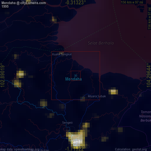
» NASA, Earths city lights 1995
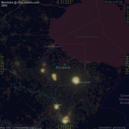
» NASA city lights 2003
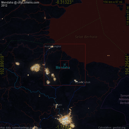
» Earth at Night: Flat Maps 2012, 2016