Kuala Tungkal night lights from space
Night Light of Kuala Tungkal (Jambi) from space (Indonesia) Src. Average luminocity for 10x10km area is 5.3961% and for 50x50km: 0.3436%.
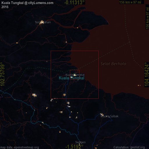

Analysis of Kuala Tungkal night lights 2016
Square area 10x10 km:
 0%
0%90-99
0.87%80-89
0.87%70-79
1.52%60-69
1.95%50-59
0.43%40-49
0.65%30-39
0.65%20-29
0%10-19
0.87%0-9
92.21%Square area 50x50 km:
0%90-99
0.03%80-89
0.03%70-79
0.06%60-69
0.11%50-59
0.05%40-49
0.1%30-39
0.13%20-29
0%10-19
0.03%0-9
99.45%Clear (daylight) street map image can be seen on geolist.org.
Map coordinates:
0° 6' 47.3" South, 102° 45' 28.8" East
0° 48' 58.4" South, 103° 27' 40" East
1° 31' 9.1" South, 104° 9' 51.3" East
Some cities around Kuala Tungkal sort by population:
• Batam
227.4 km =141.3 mi,  16°
16°
• Jambi City
88.8 km =55.2 mi,  168°
168°
• Tanjung Pinang
222.3 km =138.1 mi,  29°
29°
• Mendaha
26.7 km =16.6 mi,  146°
146°
• Kijang
231.1 km =143.6 mi, 34°
• Simpang
86.5 km =53.7 mi,  125°
125°
• Muntok
234.7 km =145.8 mi, 126°
• Bejubang Dua
109.7 km =68.2 mi,  188°
188°
1639286 (p: 33,683)
Sources (retrieved 2019-11-25):
» Earth at Night: Flat Maps 2012, 2016