Tanjung Pinang night lights from space
Night Light of Tanjung Pinang (Riau Islands) from space (Indonesia) Src. Average luminocity for 10x10km area is 35.2576% and for 50x50km: 4.0344%.
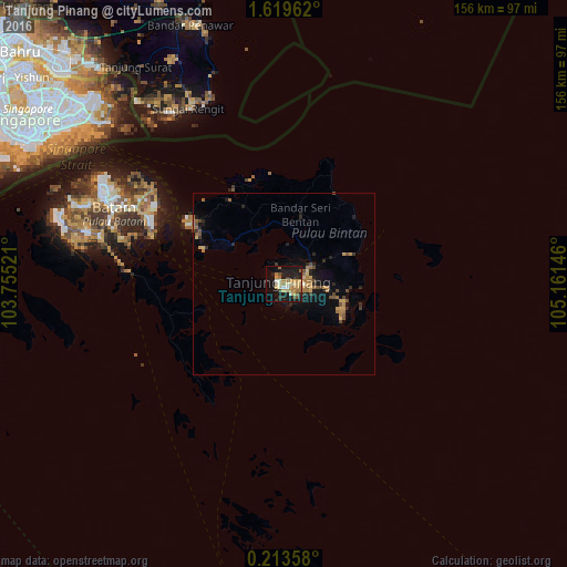
Analysis of Tanjung Pinang night lights 2016
Square area 10x10 km:
 0.87%
0.87%90-99
5.84%80-89
7.36%70-79
6.93%60-69
9.31%50-59
3.03%40-49
2.81%30-39
0.87%20-29
11.26%10-19
33.33%0-9
18.4%Square area 50x50 km:
0.03%90-99
0.27%80-89
0.48%70-79
0.76%60-69
1.14%50-59
0.48%40-49
0.8%30-39
0.32%20-29
1.19%10-19
3.2%0-9
91.33%Clear (daylight) street map image can be seen on geolist.org.
Map coordinates:
1° 37' 10.6" North, 103° 45' 18.8" East
0° 55' 0" North, 104° 27' 30" East
0° 12' 48.9" North, 105° 9' 41.3" East
Some cities around Tanjung Pinang sort by population:
• Singapore, SG
79.3 km =49.3 mi,  301°
301°
• Batam
54.7 km =34 mi, 298°
• Johor Bahru, MY
98.9 km =61.5 mi,  308°
308°
• Woodlands, SG
94.3 km =58.6 mi, 307°
• Kampung Pasir Gudang Baru, MY
89.3 km =55.5 mi, 313°
• Ulu Tiram, MY
104.2 km =64.7 mi,  316°
316°
• Kota Tinggi, MY
110.4 km =68.6 mi,  325°
325°
• Kijang
19.5 km =12.1 mi,  95°
95°
1624863 (p: 192,493)
Sources (retrieved 2019-11-25):
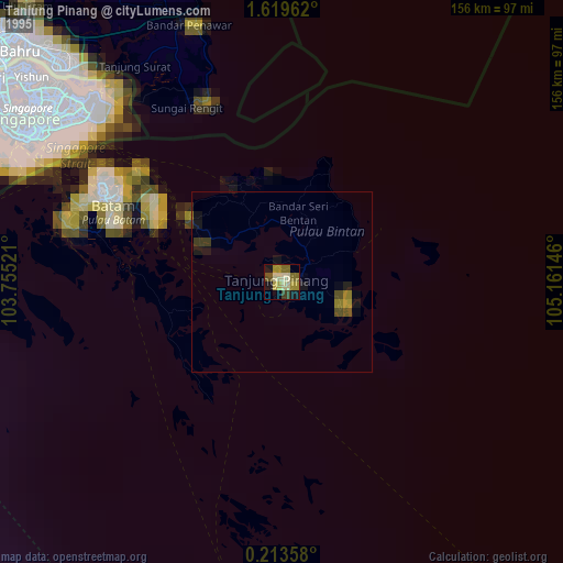
» NASA, Earths city lights 1995
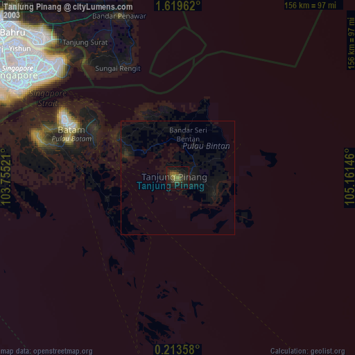
» NASA city lights 2003
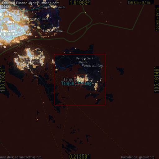
» Earth at Night: Flat Maps 2012, 2016