Muntok night lights from space
Night Light of Muntok (Bangka–Belitung Islands) from space (Indonesia) Src. Average luminocity for 10x10km area is 3.7143% and for 50x50km: 0.187%.
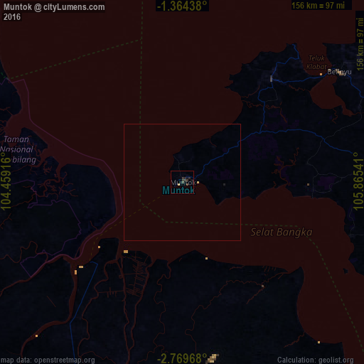
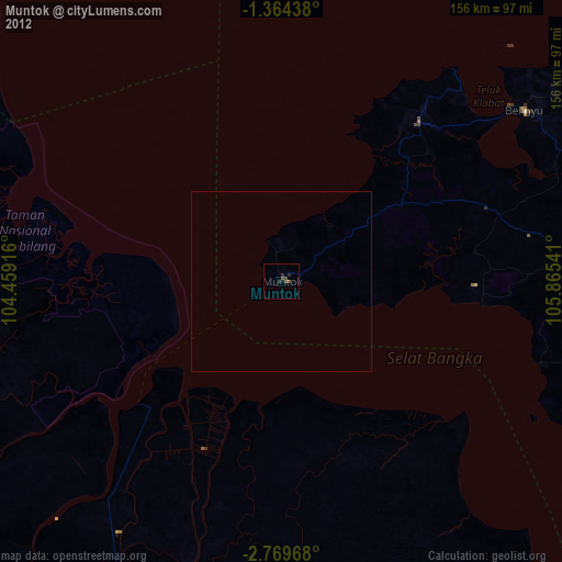
Analysis of Muntok night lights 2016
Square area 10x10 km:
 0%
0%90-99
0%80-89
0.87%70-79
0%60-69
0%50-59
0%40-49
1.73%30-39
3.03%20-29
2.16%10-19
2.16%0-9
90.04%Square area 50x50 km:
0%90-99
0%80-89
0.07%70-79
0%60-69
0%50-59
0%40-49
0.07%30-39
0.12%20-29
0.09%10-19
0.12%0-9
99.53%Clear (daylight) street map image can be seen on geolist.org.
Map coordinates:
1° 21' 51.8" South, 104° 27' 33" East
2° 4' 1.9" South, 105° 9' 44.2" East
2° 46' 10.8" South, 105° 51' 55.5" East
Some cities around Muntok sort by population:
• Palembang
105.2 km =65.4 mi,  206°
206°
• Jambi City
179.5 km =111.5 mi,  286°
286°
• Pangkalpinang
105.9 km =65.8 mi,  93°
93°
• Prabumulih
183.9 km =114.3 mi, 214°
• Sungailiat
109.3 km =67.9 mi,  77°
77°
• Mendaha
209.9 km =130.4 mi,  303°
303°
• Simpang
148.3 km =92.1 mi,  307°
307°
• Bejubang Dua
207.4 km =128.9 mi,  278°
278°
1634678 (p: 26,709)
Sources (retrieved 2019-11-25):
» Earth at Night: Flat Maps 2012, 2016