Perbaungan night lights from space
Night Light of Perbaungan (North Sumatra) from space (Indonesia) Src. Average luminocity for 10x10km area is 20.5693% and for 50x50km: 14.9161%.
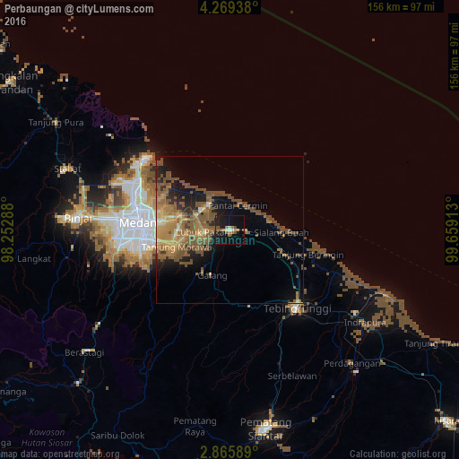
Analysis of Perbaungan night lights 2016
Square area 10x10 km:
 0.43%
0.43%90-99
2.16%80-89
1.73%70-79
0.87%60-69
2.81%50-59
8.44%40-49
2.6%30-39
0%20-29
4.76%10-19
34.42%0-9
41.77%Square area 50x50 km:
0.16%90-99
0.63%80-89
1.38%70-79
2.77%60-69
3.76%50-59
6.26%40-49
4.83%30-39
0.53%20-29
2.73%10-19
7.25%0-9
69.69%Clear (daylight) street map image can be seen on geolist.org.
Map coordinates:
4° 16' 9.8" North, 98° 15' 10.4" East
3° 34' 4.4" North, 98° 57' 21.6" East
2° 51' 57.2" North, 99° 39' 32.9" East
Some cities around Perbaungan sort by population:
• Medan
32.2 km =20 mi,  273°
273°
• Percut
12 km =7.5 mi,  302°
302°
• Binjai
52.3 km =32.5 mi, 273°
• Sunggal
37.8 km =23.5 mi, 271°
• Tebingtinggi
35.1 km =21.8 mi,  139°
139°
• Belawan
38.1 km =23.7 mi,  307°
307°
• Labuhan Deli
36 km =22.4 mi, 299°
• Deli Tua
30.9 km =19.2 mi,  257°
257°
1214191 (p: 157,174)
Sources (retrieved 2019-11-25):
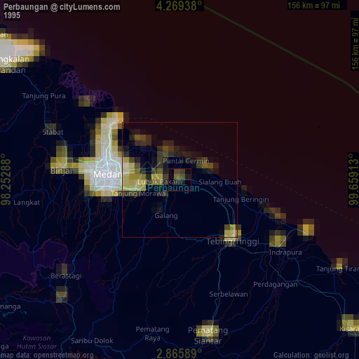
» NASA, Earths city lights 1995
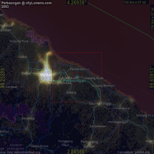
» NASA city lights 2003
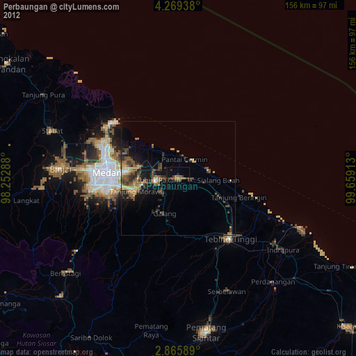
» Earth at Night: Flat Maps 2012, 2016