Baki night lights from space
Night Light of Baki (Central Java) from space (Indonesia) Src. Average luminocity for 10x10km area is 62.79% and for 50x50km: 28.4771%.
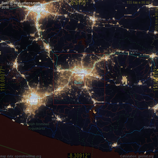
Analysis of Baki night lights 2016
Square area 10x10 km:
 7.14%
7.14%90-99
10.39%80-89
7.79%70-79
16.88%60-69
14.72%50-59
11.9%40-49
8.87%30-39
12.55%20-29
9.09%10-19
0.65%0-9
0%Square area 50x50 km:
1.5%90-99
2.54%80-89
2.24%70-79
3.74%60-69
5.96%50-59
6.62%40-49
9.32%30-39
8.67%20-29
9.74%10-19
13.8%0-9
35.87%Clear (daylight) street map image can be seen on geolist.org.
Map coordinates:
6° 54' 55.1" South, 110° 4' 50.8" East
7° 36' 46" South, 110° 47' 2" East
8° 18' 32.8" South, 111° 29' 13.3" East
Some cities around Baki sort by population:
• Surakarta
8.2 km =5.1 mi,  39°
39°
• Grogol
4 km =2.5 mi,  71°
71°
• Kartasura
8.5 km =5.3 mi,  323°
323°
• Gatak
9.1 km =5.7 mi,  285°
285°
• Jaten
13.1 km =8.1 mi, 72°
• Colomadu
9.6 km =6 mi,  337°
337°
• Delanggu
11.1 km =6.9 mi,  267°
267°
• Ngemplak
10.2 km =6.3 mi,  313°
313°
1650670 (p: 58,909)
Sources (retrieved 2019-11-25):
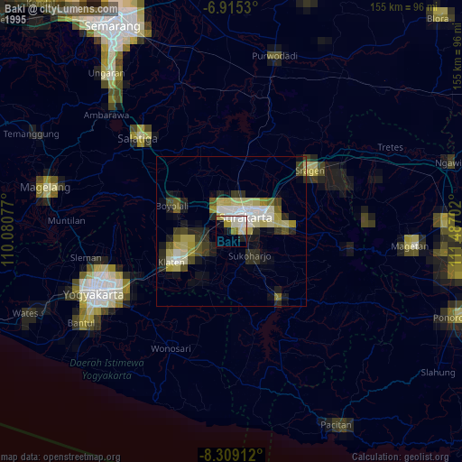
» NASA, Earths city lights 1995
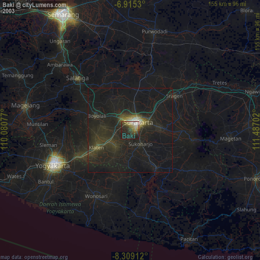
» NASA city lights 2003
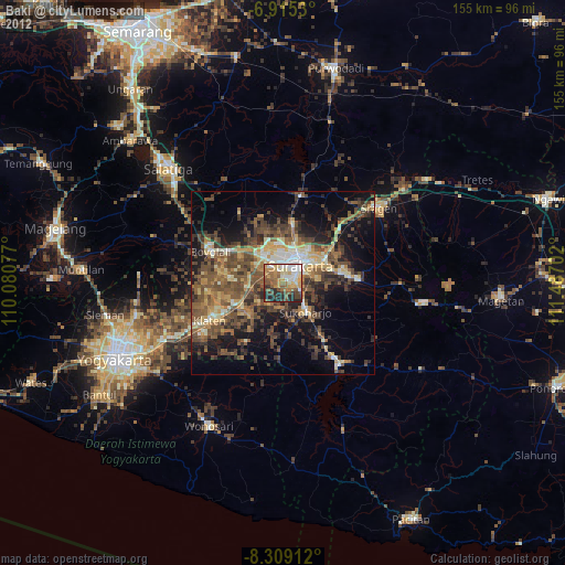
» Earth at Night: Flat Maps 2012, 2016