Siófok night lights from space
Night Light of Siófok (Somogy) from space (Hungary) Src. Average luminocity for 10x10km area is 17.2455% and for 50x50km: 3.9159%.
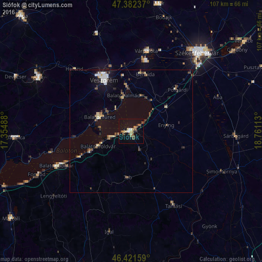
Analysis of Siófok night lights 2016
Square area 10x10 km:
 1.64%
1.64%90-99
1.04%80-89
2.38%70-79
2.38%60-69
2.68%50-59
4.32%40-49
2.08%30-39
3.13%20-29
1.04%10-19
7.29%0-9
72.02%Square area 50x50 km:
0.38%90-99
0.56%80-89
0.53%70-79
0.23%60-69
0.45%50-59
0.62%40-49
0.69%30-39
0.55%20-29
0.71%10-19
1.97%0-9
93.31%Clear (daylight) street map image can be seen on geolist.org.
Map coordinates:
47° 22' 56.5" North, 17° 21' 17.6" East
46° 54' 14.9" North, 18° 3' 28.8" East
46° 25' 17.7" North, 18° 45' 40.1" East
Some cities around Siófok sort by population:
• Veszprém
23.8 km =14.8 mi,  332°
332°
• Várpalota
33.4 km =20.8 mi,  10°
10°
• Balatonfüred
15.5 km =9.6 mi,  294°
294°
• Balatonalmádi
14.9 km =9.3 mi,  349°
349°
• Enying
14.3 km =8.9 mi,  78°
78°
• Polgárdi
25.4 km =15.8 mi,  46°
46°
• Balatonboglár
34.6 km =21.5 mi,  245°
245°
• Berhida
23.7 km =14.7 mi, 13°
3045332 (p: 23,028)
Sources (retrieved 2019-11-25):
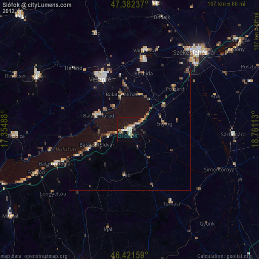
» Earth at Night: Flat Maps 2012, 2016