Balatonboglár night lights from space
Night Light of Balatonboglár (Somogy) from space (Hungary) Src. Average luminocity for 10x10km area is 9.8452% and for 50x50km: 2.4127%.
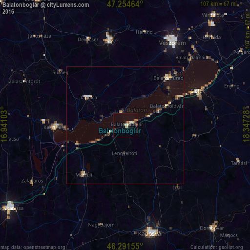
Analysis of Balatonboglár night lights 2016
Square area 10x10 km:
 0.89%
0.89%90-99
1.64%80-89
1.64%70-79
0.6%60-69
1.64%50-59
0.89%40-49
1.34%30-39
0.74%20-29
2.53%10-19
1.04%0-9
87.05%Square area 50x50 km:
0.11%90-99
0.3%80-89
0.37%70-79
0.16%60-69
0.38%50-59
0.44%40-49
0.45%30-39
0.43%20-29
0.6%10-19
0.44%0-9
96.33%Clear (daylight) street map image can be seen on geolist.org.
Map coordinates:
47° 15' 16.7" North, 16° 56' 27.7" East
46° 46' 30.9" North, 17° 38' 38.9" East
46° 17' 29.6" North, 18° 20' 50.2" East
Some cities around Balatonboglár sort by population:
• Ajka
36.9 km =22.9 mi,  349°
349°
• Siófok
34.6 km =21.5 mi,  65°
65°
• Keszthely
30.5 km =19 mi,  268°
268°
• Tapolca
19.4 km =12.1 mi,  307°
307°
• Marcali
27.6 km =17.1 mi,  219°
219°
• Sümeg
35.5 km =22.1 mi, 309°
• Fonyód
5.4 km =3.4 mi,  246°
246°
• Devecser
39.7 km =24.7 mi,  336°
336°
3055584 (p: 5,964)
Sources (retrieved 2019-11-25):
» Earth at Night: Flat Maps 2012, 2016