Várpalota night lights from space
Night Light of Várpalota (Veszprém) from space (Hungary) Src. Average luminocity for 10x10km area is 13.6414% and for 50x50km: 5.3474%.
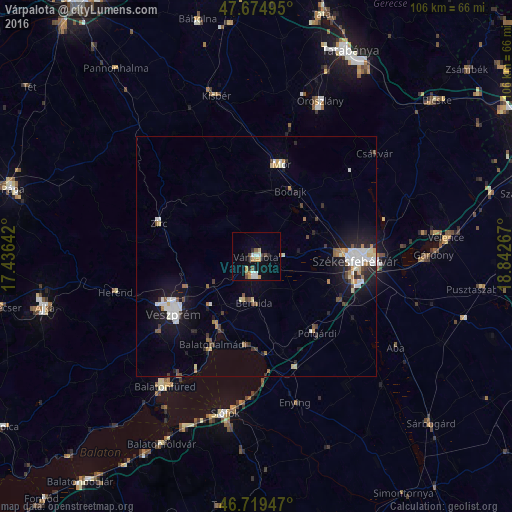
Analysis of Várpalota night lights 2016
Square area 10x10 km:
 1.93%
1.93%90-99
2.23%80-89
0.6%70-79
3.42%60-69
1.64%50-59
1.34%40-49
1.64%30-39
0%20-29
2.98%10-19
4.76%0-9
79.46%Square area 50x50 km:
0.88%90-99
1.09%80-89
0.49%70-79
0.45%60-69
0.59%50-59
0.41%40-49
0.61%30-39
0.43%20-29
1.17%10-19
4.05%0-9
89.81%Clear (daylight) street map image can be seen on geolist.org.
Map coordinates:
47° 40' 29.8" North, 17° 26' 11.1" East
47° 11' 57.7" North, 18° 8' 22.3" East
46° 43' 10.1" North, 18° 50' 33.6" East
Some cities around Várpalota sort by population:
• Székesfehérvár
20.5 km =12.7 mi,  92°
92°
• Veszprém
20.9 km =13 mi,  235°
235°
• Mór
20.4 km =12.7 mi,  13°
13°
• Balatonalmádi
20.3 km =12.6 mi,  206°
206°
• Zirc
21.3 km =13.2 mi,  289°
289°
• Enying
30.9 km =19.2 mi,  165°
165°
• Polgárdi
19.7 km =12.2 mi,  141°
141°
• Berhida
9.8 km =6.1 mi,  184°
184°
3043095 (p: 21,299)
Sources (retrieved 2019-11-25):
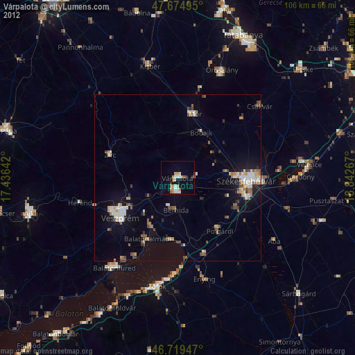
» Earth at Night: Flat Maps 2012, 2016