Veszprém night lights from space
Night Light of Veszprém from space (Hungary) Src. Average luminocity for 10x10km area is 26.5724% and for 50x50km: 4.1893%.
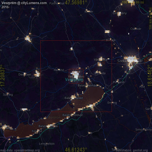
Analysis of Veszprém night lights 2016
Square area 10x10 km:
 7.24%
7.24%90-99
8.66%80-89
0.57%70-79
0%60-69
0.57%50-59
2.27%40-49
1.14%30-39
0.99%20-29
2.98%10-19
36.51%0-9
39.06%Square area 50x50 km:
0.47%90-99
0.62%80-89
0.52%70-79
0.35%60-69
0.52%50-59
0.62%40-49
0.51%30-39
0.42%20-29
0.57%10-19
2.42%0-9
92.99%Clear (daylight) street map image can be seen on geolist.org.
Map coordinates:
47° 34' 11.3" North, 17° 12' 30.1" East
47° 5' 35.8" North, 17° 54' 41.4" East
46° 36' 44.7" North, 18° 36' 52.6" East
Some cities around Veszprém sort by population:
• Ajka
26.7 km =16.6 mi,  272°
272°
• Siófok
23.8 km =14.8 mi,  152°
152°
• Várpalota
20.9 km =13 mi,  55°
55°
• Balatonfüred
14.9 km =9.3 mi,  191°
191°
• Balatonalmádi
10.5 km =6.5 mi,  127°
127°
• Zirc
19.2 km =11.9 mi,  351°
351°
• Polgárdi
29.8 km =18.5 mi,  96°
96°
• Berhida
16.6 km =10.3 mi,  83°
83°
3042929 (p: 62,023)
Sources (retrieved 2019-11-25):
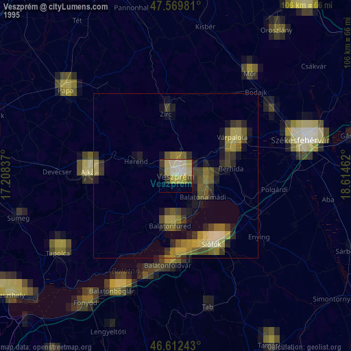
» NASA, Earths city lights 1995
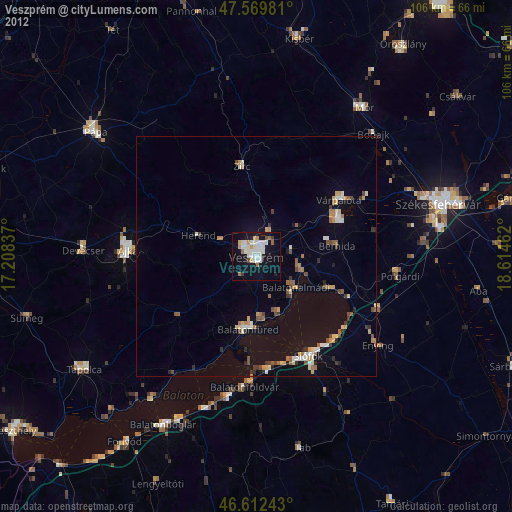
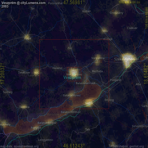
» NASA city lights 2003
» Earth at Night: Flat Maps 2012, 2016