Parádsasvár night lights from space
Night Light of Parádsasvár (Heves) from space (Hungary) Src. Average luminocity for 10x10km area is 0.1349% and for 50x50km: 1.9045%.
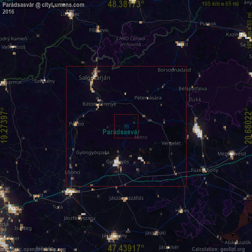
Analysis of Parádsasvár night lights 2016
Square area 10x10 km:
 0%
0%90-99
0%80-89
0%70-79
0%60-69
0%50-59
0%40-49
0%30-39
0%20-29
0.57%10-19
0%0-9
99.43%Square area 50x50 km:
0.16%90-99
0.2%80-89
0.16%70-79
0.31%60-69
0.15%50-59
0.26%40-49
0.39%30-39
0.39%20-29
0.54%10-19
0.51%0-9
96.93%Clear (daylight) street map image can be seen on geolist.org.
Map coordinates:
48° 22' 54.2" North, 19° 16' 26.3" East
47° 54' 45.4" North, 19° 58' 37.5" East
47° 26' 21" North, 20° 40' 48.8" East
Some cities around Parádsasvár sort by population:
• Eger
29.6 km =18.4 mi,  92°
92°
• Salgótarján
24.4 km =15.2 mi,  327°
327°
• Gyöngyös
14.9 km =9.3 mi,  194°
194°
• Hatvan
35.1 km =21.8 mi,  218°
218°
• Bátonyterenye
12 km =7.5 mi,  301°
301°
• Pásztó
20.8 km =12.9 mi,  272°
272°
• Jászárokszállás
30 km =18.6 mi,  179°
179°
• Lőrinci
29.9 km =18.6 mi,  228°
228°
3046619 (p: 76,000)
Sources (retrieved 2019-11-25):
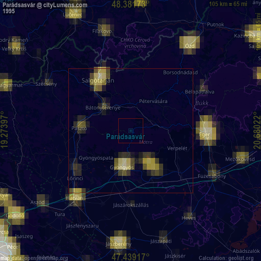
» NASA, Earths city lights 1995
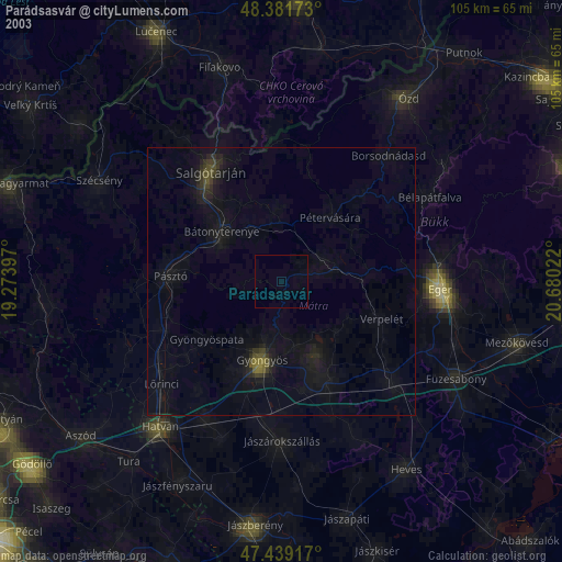
» NASA city lights 2003
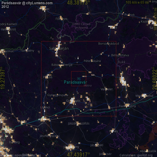
» Earth at Night: Flat Maps 2012, 2016