Nagyhalász night lights from space
Night Light of Nagyhalász (Szabolcs-Szatmár-Bereg) from space (Hungary) Src. Average luminocity for 10x10km area is 0.5253% and for 50x50km: 2.3076%.
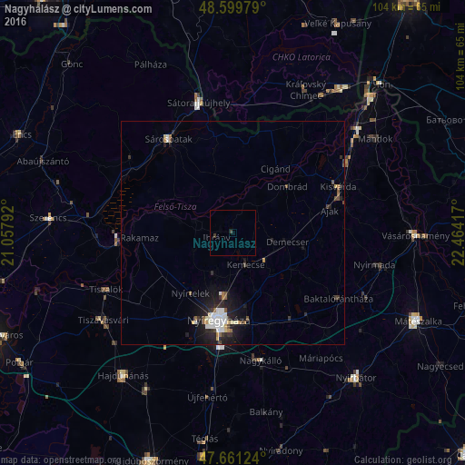
Analysis of Nagyhalász night lights 2016
Square area 10x10 km:
 0%
0%90-99
0%80-89
0%70-79
0%60-69
0%50-59
0%40-49
0.15%30-39
1.04%20-29
0%10-19
0%0-9
98.81%Square area 50x50 km:
0.43%90-99
0.46%80-89
0.19%70-79
0.14%60-69
0.17%50-59
0.29%40-49
0.2%30-39
0.36%20-29
0.79%10-19
1.89%0-9
95.07%Clear (daylight) street map image can be seen on geolist.org.
Map coordinates:
48° 35' 59.2" North, 21° 3' 28.5" East
48° 7' 57.6" North, 21° 45' 39.7" East
47° 39' 40.5" North, 22° 27' 51" East
Some cities around Nagyhalász sort by population:
• Nyíregyháza
20 km =12.4 mi,  189°
189°
• Kisvárda
25.7 km =16 mi,  68°
68°
• Sárospatak
25.4 km =15.8 mi,  326°
326°
• Nyírtelek
16 km =9.9 mi,  216°
216°
• Ibrány
4 km =2.5 mi,  254°
254°
• Rakamaz
22 km =13.7 mi,  267°
267°
• Tokaj
25.6 km =15.9 mi, 266°
• Kemecse
7.2 km =4.5 mi,  152°
152°
717345 (p: 5,924)
Sources (retrieved 2019-11-25):
» Earth at Night: Flat Maps 2012, 2016