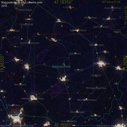
Nagyszénás night lights from space
Night Light of Nagyszénás (Bekes) from space (Hungary) Src. Average luminocity for 10x10km area is 0.4077% and for 50x50km: 1.044%.
Analysis of Nagyszénás night lights 2016
Square area 10x10 km:
 0%
0%90-99
0%80-89
0%70-79
0%60-69
0%50-59
0%40-49
0.57%30-39
0%20-29
0%10-19
0.57%0-9
98.86%Square area 50x50 km:
0.08%90-99
0.15%80-89
0.08%70-79
0.08%60-69
0.09%50-59
0.2%40-49
0.29%30-39
0.26%20-29
0.2%10-19
0.22%0-9
98.35%Clear (daylight) street map image can be seen on geolist.org.
Map coordinates:
47° 9' 48.7" North, 19° 57' 48.8" East
46° 40' 60" North, 20° 40' 0" East
46° 11' 55.7" North, 21° 22' 11.3" East
Some cities around Nagyszénás sort by population:
• Orosháza
13 km =8.1 mi,  180°
180°
• Szarvas
22.2 km =13.8 mi,  336°
336°
• Gyomaendrőd
30.6 km =19 mi,  24°
24°
• Mezőberény
31.6 km =19.6 mi,  62°
62°
• Tótkomlós
30.1 km =18.7 mi,  170°
170°
• Kondoros
13.8 km =8.6 mi,  47°
47°
• Csorvás
13.9 km =8.6 mi,  113°
113°
• Újkígyós
30.1 km =18.7 mi, 111°
717130 (p: 5,617)
Sources (retrieved 2019-11-25):
» Earth at Night: Flat Maps 2012, 2016