Szarvas night lights from space
Night Light of Szarvas (Bekes) from space (Hungary) Src. Average luminocity for 10x10km area is 5.2679% and for 50x50km: 1.3465%.
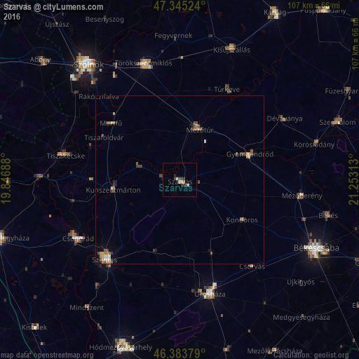
Analysis of Szarvas night lights 2016
Square area 10x10 km:
 0.45%
0.45%90-99
0.74%80-89
0.74%70-79
0.45%60-69
0.6%50-59
0%40-49
1.64%30-39
2.53%20-29
0.74%10-19
0.45%0-9
91.67%Square area 50x50 km:
0.08%90-99
0.17%80-89
0.09%70-79
0.24%60-69
0.21%50-59
0.25%40-49
0.41%30-39
0.37%20-29
0.14%10-19
0.24%0-9
97.8%Clear (daylight) street map image can be seen on geolist.org.
Map coordinates:
47° 20' 42.9" North, 19° 50' 48.8" East
46° 52' 0" North, 20° 33' 0" East
46° 23' 1.6" North, 21° 15' 11.3" East
Some cities around Szarvas sort by population:
• Mezőtúr
16.1 km =10 mi,  23°
23°
• Gyomaendrőd
22.8 km =14.2 mi,  70°
70°
• Tiszaföldvár
26.2 km =16.3 mi,  299°
299°
• Túrkeve
30.1 km =18.7 mi,  30°
30°
• Kunszentmárton
20.1 km =12.5 mi,  261°
261°
• Kondoros
22 km =13.7 mi,  120°
120°
• Csorvás
33.8 km =21 mi,  140°
140°
• Nagyszénás
22.2 km =13.8 mi,  156°
156°
715466 (p: 18,170)
Sources (retrieved 2019-11-25):
» Earth at Night: Flat Maps 2012, 2016