Orosháza night lights from space
Night Light of Orosháza (Bekes) from space (Hungary) Src. Average luminocity for 10x10km area is 13.9645% and for 50x50km: 1.1754%.
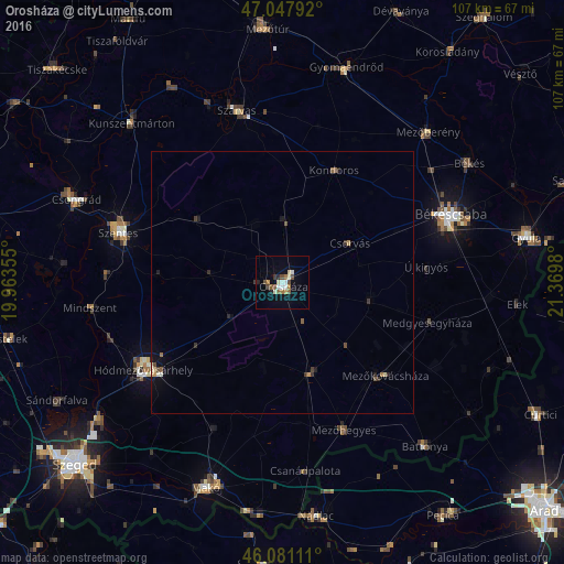
Analysis of Orosháza night lights 2016
Square area 10x10 km:
 1.42%
1.42%90-99
2.98%80-89
1.28%70-79
1.14%60-69
1.56%50-59
3.13%40-49
2.13%30-39
0.85%20-29
1.42%10-19
3.27%0-9
80.82%Square area 50x50 km:
0.06%90-99
0.21%80-89
0.13%70-79
0.11%60-69
0.12%50-59
0.25%40-49
0.17%30-39
0.21%20-29
0.26%10-19
0.4%0-9
98.1%Clear (daylight) street map image can be seen on geolist.org.
Map coordinates:
47° 2' 52.5" North, 19° 57' 48.8" East
46° 34' 0" North, 20° 40' 0" East
46° 4' 52" North, 21° 22' 11.3" East
Some cities around Orosháza sort by population:
• Hódmezővásárhely
30.5 km =19 mi,  236°
236°
• Mezőkovácsháza
26.6 km =16.5 mi,  134°
134°
• Tótkomlós
17.4 km =10.8 mi,  162°
162°
• Mezőhegyes
30.1 km =18.7 mi, 157°
• Kondoros
24.5 km =15.2 mi,  24°
24°
• Csorvás
14.7 km =9.1 mi,  59°
59°
• Nagyszénás
13 km =8.1 mi,  0°
0°
• Újkígyós
28.1 km =17.5 mi,  86°
86°
716736 (p: 31,373)
Sources (retrieved 2019-11-25):
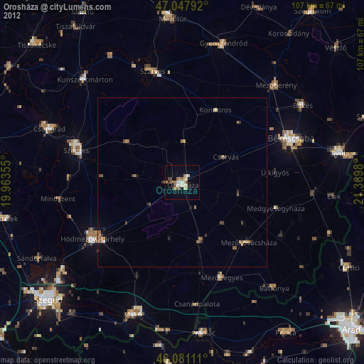
» Earth at Night: Flat Maps 2012, 2016