Kondoros night lights from space
Night Light of Kondoros (Bekes) from space (Hungary) Src. Average luminocity for 10x10km area is 0.8333% and for 50x50km: 2.3954%.
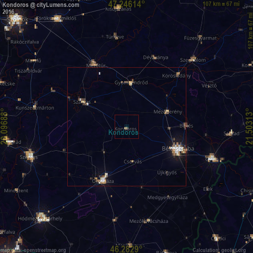
Analysis of Kondoros night lights 2016
Square area 10x10 km:
 0%
0%90-99
0%80-89
0%70-79
0%60-69
0%50-59
1.19%40-49
0%30-39
0%20-29
0.15%10-19
0.45%0-9
98.21%Square area 50x50 km:
0.31%90-99
0.38%80-89
0.17%70-79
0.21%60-69
0.35%50-59
0.42%40-49
0.44%30-39
0.49%20-29
0.21%10-19
1.52%0-9
95.5%Clear (daylight) street map image can be seen on geolist.org.
Map coordinates:
47° 14' 46.1" North, 20° 5' 48.8" East
46° 46' 0" North, 20° 48' 0" East
46° 16' 58.4" North, 21° 30' 11.3" East
Some cities around Kondoros sort by population:
• Békéscsaba
24.7 km =15.3 mi,  112°
112°
• Orosháza
24.5 km =15.2 mi,  204°
204°
• Békés
25.4 km =15.8 mi,  90°
90°
• Szarvas
22 km =13.7 mi,  300°
300°
• Gyomaendrőd
18.7 km =11.6 mi,  7°
7°
• Mezőberény
18.6 km =11.6 mi,  72°
72°
• Csorvás
15 km =9.3 mi,  170°
170°
• Nagyszénás
13.8 km =8.6 mi,  227°
227°
718615 (p: 5,793)
Sources (retrieved 2019-11-25):
» Earth at Night: Flat Maps 2012, 2016