Komádi night lights from space
Night Light of Komádi (Hajdú-Bihar) from space (Hungary) Src. Average luminocity for 10x10km area is 0.9773% and for 50x50km: 1.1309%.
Analysis of Komádi night lights 2016
Square area 10x10 km:
 0%
0%90-99
0%80-89
0%70-79
0%60-69
0.43%50-59
0.71%40-49
0.14%30-39
0.43%20-29
0%10-19
0%0-9
98.3%Square area 50x50 km:
0.12%90-99
0.22%80-89
0.06%70-79
0.13%60-69
0.09%50-59
0.22%40-49
0.12%30-39
0.22%20-29
0.19%10-19
0.39%0-9
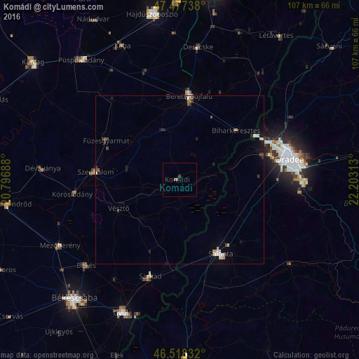
98.23%Clear (daylight) street map image can be seen on geolist.org.
Map coordinates:
47° 28' 38.6" North, 20° 47' 48.8" East
47° 0' 0" North, 21° 30' 0" East
46° 31' 6" North, 22° 12' 11.3" East
Some cities around Komádi sort by population:
• Salonta, RO
25 km =15.5 mi,  152°
152°
• Berettyóújfalu
24.4 km =15.2 mi,  8°
8°
• Sarkad
29.2 km =18.1 mi,  197°
197°
• Szeghalom
25.5 km =15.8 mi,  278°
278°
• Vésztő
20 km =12.4 mi,  242°
242°
• Füzesgyarmat
24.2 km =15 mi,  297°
297°
• Cefa, RO
20 km =12.4 mi,  117°
117°
• Körösladány
31.8 km =19.8 mi,  263°
263°
718637 (p: 6,091)
Sources (retrieved 2019-11-25):
» Earth at Night: Flat Maps 2012, 2016