Cefa night lights from space
Night Light of Cefa (Bihor) from space (Romania) Src. Average luminocity for 10x10km area is 0% and for 50x50km: 4.9624%.
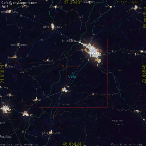
Analysis of Cefa night lights 2016
Square area 10x10 km:
 0%
0%90-99
0%80-89
0%70-79
0%60-69
0%50-59
0%40-49
0%30-39
0%20-29
0%10-19
0%0-9
100%Square area 50x50 km:
1.17%90-99
1.24%80-89
0.28%70-79
0.42%60-69
0.37%50-59
0.24%40-49
0.42%30-39
0.73%20-29
1.67%10-19
3.32%0-9
90.14%Clear (daylight) street map image can be seen on geolist.org.
Map coordinates:
47° 23' 41.3" North, 21° 1' 48.8" East
46° 55' 0" North, 21° 43' 60" East
46° 26' 3.3" North, 22° 26' 11.3" East
Some cities around Cefa sort by population:
• Oradea
20.1 km =12.5 mi,  44°
44°
• Salonta
14.4 km =8.9 mi,  206°
206°
• Berettyóújfalu, HU
36.1 km =22.4 mi,  337°
337°
• Sarkad, HU
32.4 km =20.1 mi,  235°
235°
• Vésztő, HU
35.4 km =22 mi,  270°
270°
• Tileagd
39.1 km =24.3 mi,  64°
64°
• Komádi, HU
20 km =12.4 mi,  297°
297°
• Batăr
24.9 km =15.5 mi,  165°
165°
682452 (p: 6,206)
Sources (retrieved 2019-11-25):
» Earth at Night: Flat Maps 2012, 2016