Vésztő night lights from space
Night Light of Vésztő (Bekes) from space (Hungary) Src. Average luminocity for 10x10km area is 0.2173% and for 50x50km: 1.0456%.
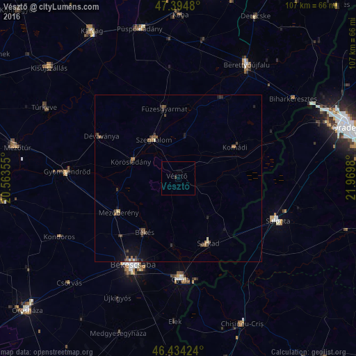
Analysis of Vésztő night lights 2016
Square area 10x10 km:
 0%
0%90-99
0%80-89
0%70-79
0%60-69
0%50-59
0%40-49
0%30-39
0.6%20-29
0%10-19
0%0-9
99.4%Square area 50x50 km:
0.03%90-99
0.06%80-89
0.06%70-79
0.02%60-69
0.19%50-59
0.31%40-49
0.34%30-39
0.33%20-29
0.2%10-19
0.75%0-9
97.7%Clear (daylight) street map image can be seen on geolist.org.
Map coordinates:
47° 23' 41.3" North, 20° 33' 48.8" East
46° 55' 0" North, 21° 16' 0" East
46° 26' 3.3" North, 21° 58' 11.3" East
Some cities around Vésztő sort by population:
• Békés
19.5 km =12.1 mi,  211°
211°
• Mezőberény
20.9 km =13 mi,  237°
237°
• Sarkad
20.5 km =12.7 mi,  154°
154°
• Szeghalom
15 km =9.3 mi,  329°
329°
• Dévaványa
26.2 km =16.3 mi,  299°
299°
• Füzesgyarmat
20.7 km =12.9 mi,  349°
349°
• Komádi
20 km =12.4 mi,  62°
62°
• Körösladány
15 km =9.3 mi,  291°
291°
714073 (p: 7,494)
Sources (retrieved 2019-11-25):
» Earth at Night: Flat Maps 2012, 2016