Keszthely night lights from space
Night Light of Keszthely (Zala) from space (Hungary) Src. Average luminocity for 10x10km area is 14.4866% and for 50x50km: 1.7118%.
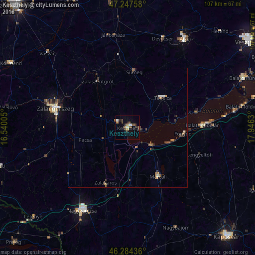
Analysis of Keszthely night lights 2016
Square area 10x10 km:
 1.64%
1.64%90-99
1.34%80-89
1.19%70-79
2.38%60-69
1.04%50-59
3.27%40-49
4.61%30-39
1.64%20-29
1.93%10-19
0.45%0-9
80.51%Square area 50x50 km:
0.14%90-99
0.19%80-89
0.09%70-79
0.16%60-69
0.27%50-59
0.41%40-49
0.49%30-39
0.43%20-29
0.32%10-19
0.21%0-9
97.3%Clear (daylight) street map image can be seen on geolist.org.
Map coordinates:
47° 14' 51.3" North, 16° 32' 24.2" East
46° 46' 5.2" North, 17° 14' 35.4" East
46° 17' 3.7" North, 17° 56' 46.7" East
Some cities around Keszthely sort by population:
• Zalaegerszeg
31.4 km =19.5 mi,  284°
284°
• Nagykanizsa
39.9 km =24.8 mi,  208°
208°
• Tapolca
19.6 km =12.2 mi,  50°
50°
• Marcali
24.1 km =15 mi,  147°
147°
• Zalaszentgrót
23.3 km =14.5 mi,  327°
327°
• Sümeg
23.4 km =14.5 mi,  7°
7°
• Balatonboglár
30.5 km =19 mi,  88°
88°
• Fonyód
25.7 km =16 mi, 93°
3050212 (p: 21,534)
Sources (retrieved 2019-11-25):
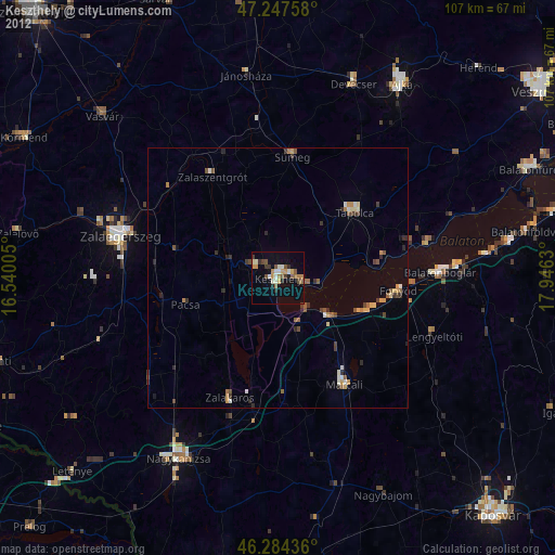
» Earth at Night: Flat Maps 2012, 2016