Zalaszentgrót night lights from space
Night Light of Zalaszentgrót (Zala) from space (Hungary) Src. Average luminocity for 10x10km area is 1.2415% and for 50x50km: 2.1031%.
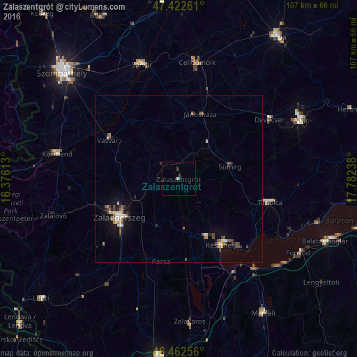
Analysis of Zalaszentgrót night lights 2016
Square area 10x10 km:
 0.28%
0.28%90-99
0.28%80-89
0%70-79
0%60-69
0%50-59
0%40-49
0.43%30-39
0.85%20-29
0.43%10-19
0%0-9
97.73%Square area 50x50 km:
0.2%90-99
0.27%80-89
0.21%70-79
0.22%60-69
0.3%50-59
0.32%40-49
0.39%30-39
0.39%20-29
0.45%10-19
1.08%0-9
96.17%Clear (daylight) street map image can be seen on geolist.org.
Map coordinates:
47° 25' 21.4" North, 16° 22' 34.1" East
46° 56' 41.1" North, 17° 4' 45.3" East
46° 27' 45.2" North, 17° 46' 56.6" East
Some cities around Zalaszentgrót sort by population:
• Zalaegerszeg
21.3 km =13.2 mi,  236°
236°
• Keszthely
23.3 km =14.5 mi,  147°
147°
• Tapolca
28.4 km =17.6 mi,  104°
104°
• Sárvár
36.1 km =22.4 mi,  342°
342°
• Körmend
36.7 km =22.8 mi,  281°
281°
• Celldömölk
35.1 km =21.8 mi,  8°
8°
• Sümeg
15.8 km =9.8 mi,  76°
76°
• Devecser
32.4 km =20.1 mi,  57°
57°
3042603 (p: 7,796)
Sources (retrieved 2019-11-25):
» Earth at Night: Flat Maps 2012, 2016