Nagykanizsa night lights from space
Night Light of Nagykanizsa (Zala) from space (Hungary) Src. Average luminocity for 10x10km area is 22.7158% and for 50x50km: 1.5841%.
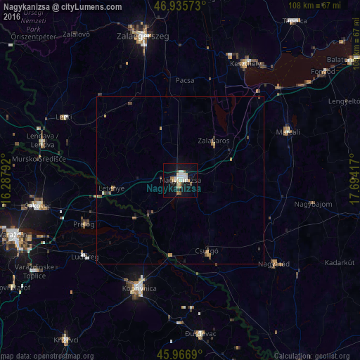
Analysis of Nagykanizsa night lights 2016
Square area 10x10 km:
 4.76%
4.76%90-99
5.06%80-89
2.38%70-79
2.83%60-69
1.64%50-59
1.79%40-49
1.04%30-39
1.04%20-29
1.19%10-19
25.74%0-9
52.53%Square area 50x50 km:
0.19%90-99
0.23%80-89
0.15%70-79
0.28%60-69
0.15%50-59
0.24%40-49
0.29%30-39
0.14%20-29
0.12%10-19
1.21%0-9
97.01%Clear (daylight) street map image can be seen on geolist.org.
Map coordinates:
46° 56' 8.6" North, 16° 17' 16.5" East
46° 27' 12.5" North, 16° 59' 27.7" East
45° 58' 0.8" North, 17° 41' 39" East
Some cities around Nagykanizsa sort by population:
• Koprivnica, HR
34.7 km =21.6 mi,  201°
201°
• Keszthely
39.9 km =24.8 mi,  28°
28°
• Marcali
35.4 km =22 mi,  65°
65°
• Nagyatád
37.6 km =23.4 mi,  131°
131°
• Lenti
39.5 km =24.5 mi,  298°
298°
• Mursko Središće, HR
42.6 km =26.5 mi,  278°
278°
• Csurgó
23.8 km =14.8 mi,  159°
159°
• Lendava, SI
43.2 km =26.8 mi,  286°
286°
3047679 (p: 50,823)
Sources (retrieved 2019-11-25):
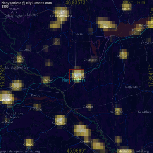
» NASA, Earths city lights 1995
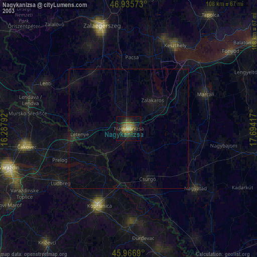
» NASA city lights 2003
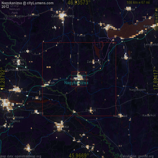
» Earth at Night: Flat Maps 2012, 2016