Gödöllő night lights from space
Night Light of Gödöllő (Pest) from space (Hungary) Src. Average luminocity for 10x10km area is 24.6818% and for 50x50km: 23.8068%.
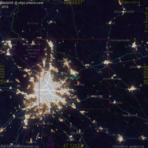
Analysis of Gödöllő night lights 2016
Square area 10x10 km:
 2.41%
2.41%90-99
3.27%80-89
1.28%70-79
3.69%60-69
2.84%50-59
5.68%40-49
2.56%30-39
3.41%20-29
4.55%10-19
38.78%0-9
31.53%Square area 50x50 km:
8.67%90-99
4.53%80-89
1.67%70-79
1.68%60-69
2.13%50-59
2.66%40-49
2.62%30-39
3.33%20-29
3.7%10-19
9.61%0-9
59.4%Clear (daylight) street map image can be seen on geolist.org.
Map coordinates:
48° 4' 6.9" North, 18° 39' 7.3" East
47° 35' 47.7" North, 19° 21' 18.5" East
47° 7' 13" North, 20° 3' 29.8" East
Some cities around Gödöllő sort by population:
• Veresegyház
7.1 km =4.4 mi,  320°
320°
• Kistarcsa
8.8 km =5.5 mi,  231°
231°
• Isaszeg
8.2 km =5.1 mi,  154°
154°
• Kerepes
6.8 km =4.2 mi, 233°
• Csömör
10.5 km =6.5 mi,  240°
240°
• Aszód
11.1 km =6.9 mi,  56°
56°
• Erdőkertes
9.2 km =5.7 mi,  337°
337°
• Őrbottyán
11.4 km =7.1 mi,  331°
331°
3052236 (p: 32,374)
Sources (retrieved 2019-11-25):
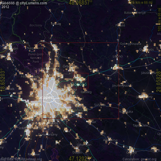
» Earth at Night: Flat Maps 2012, 2016