Erdőkertes night lights from space
Night Light of Erdőkertes (Pest) from space (Hungary) Src. Average luminocity for 10x10km area is 19.1652% and for 50x50km: 19.4916%.
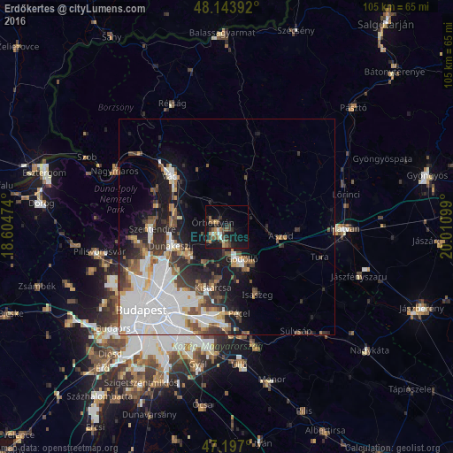
Analysis of Erdőkertes night lights 2016
Square area 10x10 km:
 0.89%
0.89%90-99
2.38%80-89
1.79%70-79
1.93%60-69
2.38%50-59
4.91%40-49
2.53%30-39
4.91%20-29
4.02%10-19
22.62%0-9
51.64%Square area 50x50 km:
7.54%90-99
3.22%80-89
1.38%70-79
1.28%60-69
1.72%50-59
2.12%40-49
1.9%30-39
2.84%20-29
3.21%10-19
8.6%0-9
66.19%Clear (daylight) street map image can be seen on geolist.org.
Map coordinates:
48° 8' 38.1" North, 18° 36' 17.1" East
47° 40' 21.4" North, 19° 18' 28.3" East
47° 11' 49.2" North, 20° 0' 39.6" East
Some cities around Erdőkertes sort by population:
• Gödöllő
9.2 km =5.7 mi,  157°
157°
• Dunakeszi
13.3 km =8.3 mi,  252°
252°
• Fót
10.8 km =6.7 mi,  235°
235°
• Göd
13.1 km =8.1 mi,  275°
275°
• Veresegyház
3.1 km =1.9 mi,  197°
197°
• Kerepes
12.7 km =7.9 mi,  188°
188°
• Aszód
13 km =8.1 mi,  100°
100°
• Őrbottyán
2.5 km =1.6 mi,  310°
310°
3053253 (p: 5,996)
Sources (retrieved 2019-11-25):
» Earth at Night: Flat Maps 2012, 2016