Dunakeszi night lights from space
Night Light of Dunakeszi (Pest) from space (Hungary) Src. Average luminocity for 10x10km area is 43.5714% and for 50x50km: 27.2475%.
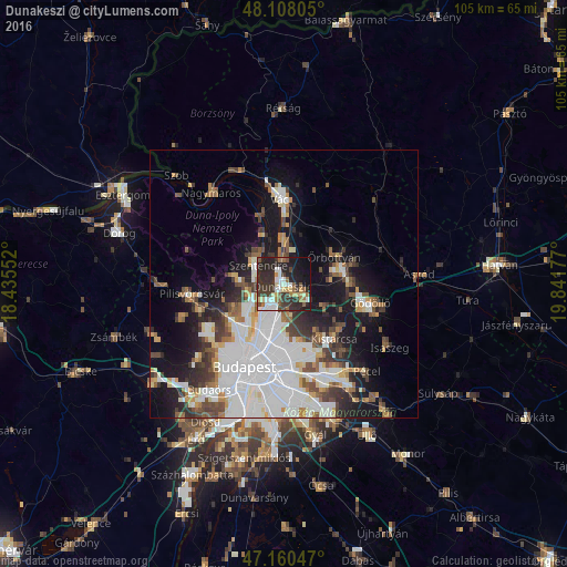
Analysis of Dunakeszi night lights 2016
Square area 10x10 km:
 6.99%
6.99%90-99
7.74%80-89
4.61%70-79
2.98%60-69
6.55%50-59
5.36%40-49
4.17%30-39
16.22%20-29
22.62%10-19
18.15%0-9
4.61%Square area 50x50 km:
9.58%90-99
5.12%80-89
1.92%70-79
2.03%60-69
2.54%50-59
3.07%40-49
2.86%30-39
3.9%20-29
4.6%10-19
12.06%0-9
52.34%Clear (daylight) street map image can be seen on geolist.org.
Map coordinates:
48° 6' 29" North, 18° 26' 7.9" East
47° 38' 11.1" North, 19° 8' 19.1" East
47° 9' 37.7" North, 19° 50' 30.4" East
Some cities around Dunakeszi sort by population:
• Budapest IV. kerület
9.1 km =5.7 mi,  204°
204°
• Budapest XV. kerület
8.4 km =5.2 mi,  191°
191°
• Szentendre
6 km =3.7 mi,  307°
307°
• Fót
4.3 km =2.7 mi,  119°
119°
• Göd
5.2 km =3.2 mi,  356°
356°
• Pomáz
8.3 km =5.2 mi,  274°
274°
• Veresegyház
11.8 km =7.3 mi,  84°
84°
• Csömör
11.9 km =7.4 mi,  143°
143°
3053476 (p: 30,246)
Sources (retrieved 2019-11-25):
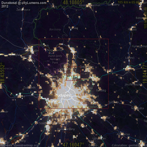
» Earth at Night: Flat Maps 2012, 2016