Dombóvár night lights from space
Night Light of Dombóvár (Tolna) from space (Hungary) Src. Average luminocity for 10x10km area is 9.1473% and for 50x50km: 0.9963%.
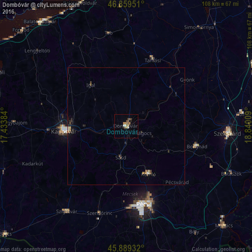
Analysis of Dombóvár night lights 2016
Square area 10x10 km:
 0.6%
0.6%90-99
1.19%80-89
0%70-79
2.23%60-69
2.38%50-59
1.93%40-49
1.19%30-39
0.6%20-29
1.04%10-19
1.34%0-9
87.5%Square area 50x50 km:
0.04%90-99
0.12%80-89
0.06%70-79
0.17%60-69
0.14%50-59
0.17%40-49
0.16%30-39
0.2%20-29
0.32%10-19
0.39%0-9
98.24%Clear (daylight) street map image can be seen on geolist.org.
Map coordinates:
46° 51' 34.2" North, 17° 26' 1.8" East
46° 22' 35.7" North, 18° 8' 13.1" East
45° 53' 21.6" North, 18° 50' 24.3" East
Some cities around Dombóvár sort by population:
• Pécs
33.4 km =20.8 mi,  167°
167°
• Kaposvár
25.9 km =16.1 mi,  267°
267°
• Szekszárd
44 km =27.3 mi,  93°
93°
• Komló
22.7 km =14.1 mi,  154°
154°
• Bonyhád
31.4 km =19.5 mi,  105°
105°
• Szigetvár
44.5 km =27.7 mi,  214°
214°
• Tamási
30.7 km =19.1 mi,  21°
21°
• Szentlőrinc
39.1 km =24.3 mi,  197°
197°
3053590 (p: 20,748)
Sources (retrieved 2019-11-25):
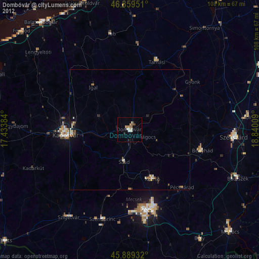
» Earth at Night: Flat Maps 2012, 2016