Kaposvár night lights from space
Night Light of Kaposvár (Somogy) from space (Hungary) Src. Average luminocity for 10x10km area is 21.7247% and for 50x50km: 1.1443%.
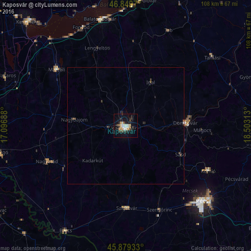
Analysis of Kaposvár night lights 2016
Square area 10x10 km:
 2.83%
2.83%90-99
4.46%80-89
2.23%70-79
2.53%60-69
2.68%50-59
1.19%40-49
0.89%30-39
4.91%20-29
5.8%10-19
19.35%0-9
53.13%Square area 50x50 km:
0.11%90-99
0.19%80-89
0.09%70-79
0.11%60-69
0.11%50-59
0.08%40-49
0.14%30-39
0.28%20-29
0.38%10-19
0.84%0-9
97.65%Clear (daylight) street map image can be seen on geolist.org.
Map coordinates:
46° 50' 58.9" North, 17° 5' 48.8" East
46° 22' 0" North, 17° 48' 0" East
45° 52' 45.6" North, 18° 30' 11.3" East
Some cities around Kaposvár sort by population:
• Pécs
45.9 km =28.5 mi,  133°
133°
• Komló
40.6 km =25.2 mi,  118°
118°
• Dombóvár
25.9 km =16.1 mi,  87°
87°
• Marcali
38.4 km =23.9 mi,  309°
309°
• Nagyatád
37.2 km =23.1 mi,  245°
245°
• Szigetvár
35.4 km =22 mi,  179°
179°
• Szentlőrinc
39.1 km =24.3 mi,  158°
158°
• Fonyód
46.4 km =28.8 mi,  338°
338°
3050616 (p: 67,746)
Sources (retrieved 2019-11-25):
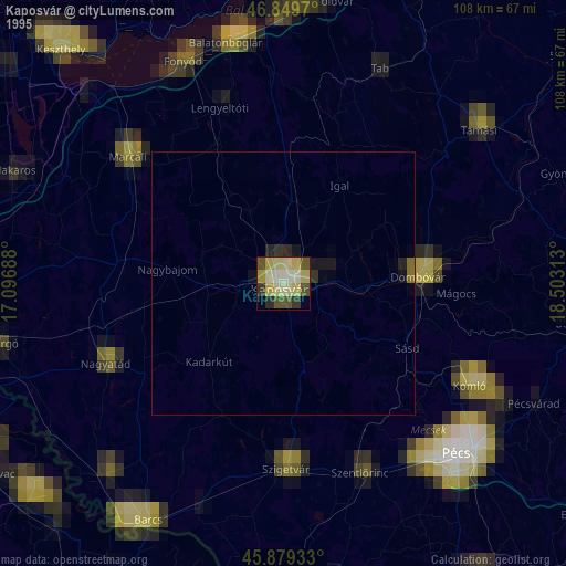
» NASA, Earths city lights 1995
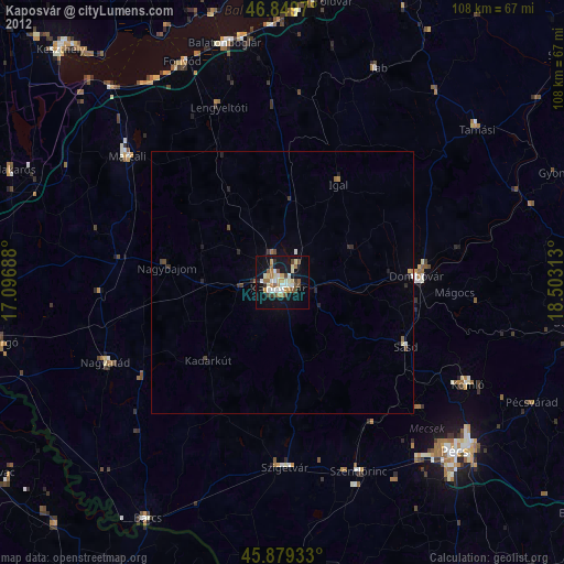
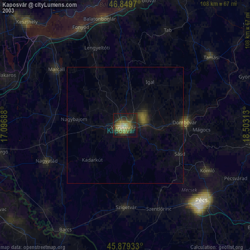
» NASA city lights 2003
» Earth at Night: Flat Maps 2012, 2016