Szentlőrinc night lights from space
Night Light of Szentlőrinc (Baranya) from space (Hungary) Src. Average luminocity for 10x10km area is 1.6719% and for 50x50km: 2.9622%.
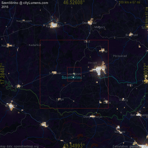
Analysis of Szentlőrinc night lights 2016
Square area 10x10 km:
 0.43%
0.43%90-99
0.14%80-89
0%70-79
0%60-69
0.28%50-59
0.43%40-49
0.43%30-39
1.14%20-29
0%10-19
0%0-9
97.16%Square area 50x50 km:
0.5%90-99
0.52%80-89
0.25%70-79
0.23%60-69
0.22%50-59
0.45%40-49
0.52%30-39
0.5%20-29
0.78%10-19
2.15%0-9
93.88%Clear (daylight) street map image can be seen on geolist.org.
Map coordinates:
46° 31' 33.9" North, 17° 17' 2.7" East
46° 2' 24.6" North, 17° 59' 13.9" East
45° 32' 59.7" North, 18° 41' 25.2" East
Some cities around Szentlőrinc sort by population:
• Pécs
19.6 km =12.2 mi,  75°
75°
• Kaposvár
39.1 km =24.3 mi,  338°
338°
• Komló
27.3 km =17 mi,  51°
51°
• Dombóvár
39.1 km =24.3 mi,  17°
17°
• Barcs
41.8 km =26 mi,  257°
257°
• Szigetvár
14.1 km =8.8 mi,  273°
273°
• Slatina, HR
43.4 km =27 mi,  210°
210°
• Siklós
31.6 km =19.6 mi,  130°
130°
3044575 (p: 7,123)
Sources (retrieved 2019-11-25):
» Earth at Night: Flat Maps 2012, 2016