Pécs night lights from space
Night Light of Pécs (Baranya) from space (Hungary) Src. Average luminocity for 10x10km area is 40.5057% and for 50x50km: 2.8651%.
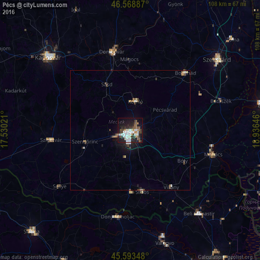
Analysis of Pécs night lights 2016
Square area 10x10 km:
 9.8%
9.8%90-99
9.23%80-89
2.41%70-79
3.13%60-69
2.56%50-59
5.82%40-49
4.12%30-39
8.81%20-29
11.93%10-19
29.83%0-9
12.36%Square area 50x50 km:
0.52%90-99
0.5%80-89
0.2%70-79
0.18%60-69
0.23%50-59
0.44%40-49
0.46%30-39
0.5%20-29
0.78%10-19
2.17%0-9
94.02%Clear (daylight) street map image can be seen on geolist.org.
Map coordinates:
46° 34' 7.9" North, 17° 31' 48.8" East
46° 4' 60" North, 18° 13' 60" East
45° 35' 36.5" North, 18° 56' 11.3" East
Some cities around Pécs sort by population:
• Komló
12.4 km =7.7 mi,  11°
11°
• Dombóvár
33.4 km =20.8 mi,  347°
347°
• Mohács
36.5 km =22.7 mi,  106°
106°
• Bonyhád
33.1 km =20.6 mi,  43°
43°
• Szigetvár
33.2 km =20.6 mi,  263°
263°
• Siklós
25.9 km =16.1 mi,  168°
168°
• Szentlőrinc
19.6 km =12.2 mi, 255°
• Bátaszék
39.7 km =24.7 mi,  71°
71°
3046526 (p: 156,649)
Sources (retrieved 2019-11-25):
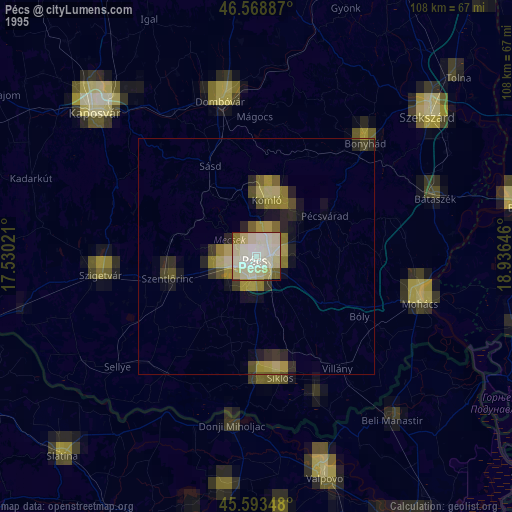
» NASA, Earths city lights 1995
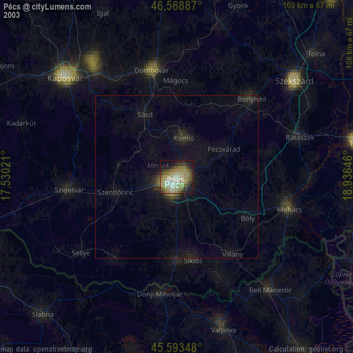
» NASA city lights 2003
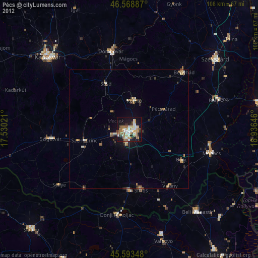
» Earth at Night: Flat Maps 2012, 2016