Debrecen night lights from space
Night Light of Debrecen (Hajdú-Bihar) from space (Hungary) Src. Average luminocity for 10x10km area is 54.0227% and for 50x50km: 4.6021%.
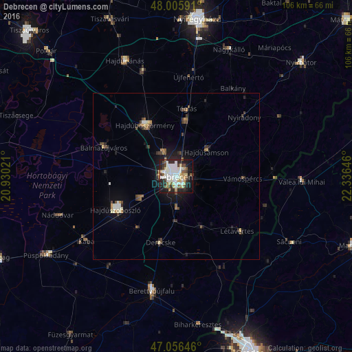

Analysis of Debrecen night lights 2016
Square area 10x10 km:
 13.35%
90-99
16.05%80-89
6.39%70-79
5.82%60-69
2.27%50-59
5.11%40-49
6.25%30-39
3.13%20-29
18.61%10-19
19.46%0-9
3.55%Square area 50x50 km:
0.68%90-99
0.9%80-89
0.41%70-79
0.52%60-69
0.38%50-59
0.46%40-49
0.83%30-39
0.57%20-29
1.33%10-19
2.83%0-9
91.09%Clear (daylight) street map image can be seen on geolist.org.
Map coordinates:
48° 0' 21.3" North, 20° 55' 48.8" East
47° 31' 60" North, 21° 37' 60" East
47° 3' 23.3" North, 22° 20' 11.3" East
Some cities around Debrecen sort by population:
• Hajdúböszörmény
17.2 km =10.7 mi,  329°
329°
• Hajdúszoboszló
19.8 km =12.3 mi,  242°
242°
• Hajdúhadház
16.9 km =10.5 mi,  8°
8°
• Hajdúsámson
12.5 km =7.8 mi,  53°
53°
• Derecske
21 km =13 mi,  193°
193°
• Téglás
20.7 km =12.9 mi, 10°
• Hosszúpályi
17.3 km =10.7 mi,  154°
154°
• Vámospércs
20 km =12.4 mi,  90°
90°
721472 (p: 204,124)
Sources (retrieved 2019-11-25):
» NASA, Earths city lights 1995
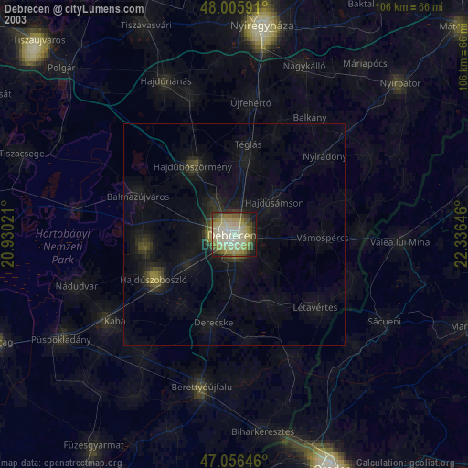
» NASA city lights 2003
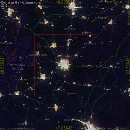
» Earth at Night: Flat Maps 2012, 2016