Hajdúszoboszló night lights from space
Night Light of Hajdúszoboszló (Hajdú-Bihar) from space (Hungary) Src. Average luminocity for 10x10km area is 15.1932% and for 50x50km: 4.6956%.
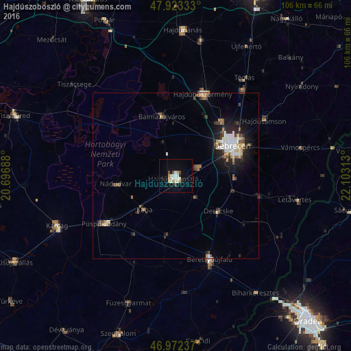
Analysis of Hajdúszoboszló night lights 2016
Square area 10x10 km:
 2.41%
2.41%90-99
4.83%80-89
0.71%70-79
1.99%60-69
0.85%50-59
0.28%40-49
1.42%30-39
0.71%20-29
0.43%10-19
7.95%0-9
78.41%Square area 50x50 km:
0.71%90-99
0.93%80-89
0.39%70-79
0.51%60-69
0.41%50-59
0.57%40-49
0.77%30-39
0.53%20-29
1.4%10-19
2.81%0-9
90.98%Clear (daylight) street map image can be seen on geolist.org.
Map coordinates:
47° 55' 24" North, 20° 41' 48.8" East
47° 27' 0" North, 21° 24' 0" East
46° 58' 20.5" North, 22° 6' 11.3" East
Some cities around Hajdúszoboszló sort by population:
• Debrecen
19.8 km =12.3 mi,  62°
62°
• Balmazújváros
18.9 km =11.7 mi,  348°
348°
• Berettyóújfalu
28.3 km =17.6 mi,  156°
156°
• Püspökladány
26 km =16.2 mi,  235°
235°
• Derecske
16.8 km =10.4 mi,  131°
131°
• Nádudvar
17.9 km =11.1 mi,  258°
258°
• Kaba
14.2 km =8.8 mi,  218°
218°
• Hosszúpályi
25.8 km =16 mi,  104°
104°
720276 (p: 23,496)
Sources (retrieved 2019-11-25):
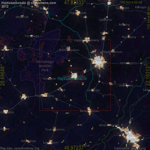
» Earth at Night: Flat Maps 2012, 2016