Saint-Raphaël night lights from space
Night Light of Saint-Raphaël (Nord) from space (Haiti) Src. Average luminocity for 10x10km area is 0% and for 50x50km: 0.0394%.
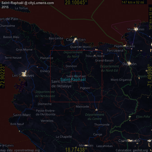
Analysis of Saint-Raphaël night lights 2016
Square area 10x10 km:
 0%
0%90-99
0%80-89
0%70-79
0%60-69
0%50-59
0%40-49
0%30-39
0%20-29
0%10-19
0%0-9
100%Square area 50x50 km:
0%90-99
0%80-89
0%70-79
0%60-69
0%50-59
0.03%40-49
0%30-39
0%20-29
0.02%10-19
0.05%0-9
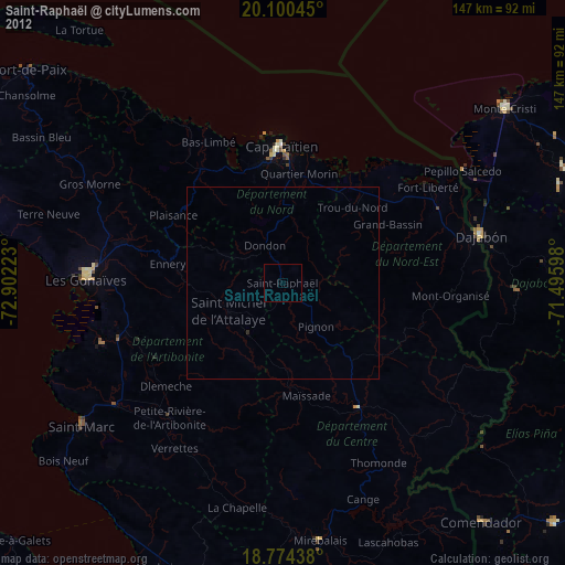
99.9%Clear (daylight) street map image can be seen on geolist.org.
Map coordinates:
20° 6' 1.6" North, 72° 54' 8" West
19° 26' 19.6" North, 72° 11' 56.8" West
18° 46' 27.8" North, 71° 29' 45.5" West
Some cities around Saint-Raphaël sort by population:
• Okap
35.6 km =22.1 mi,  0°
0°
• Lenbe
36.6 km =22.7 mi,  324°
324°
• Trou du Nord
27 km =16.8 mi,  42°
42°
• Grande Rivière du Nord
15.7 km =9.8 mi,  11°
11°
• Pignon
14.3 km =8.9 mi,  142°
142°
• Milot
18.9 km =11.7 mi,  355°
355°
• Mayisad
29.9 km =18.6 mi,  167°
167°
• Dondon
10.9 km =6.8 mi,  334°
334°
3717546 (p: 37,739)
Sources (retrieved 2019-11-25):
» Earth at Night: Flat Maps 2012, 2016